Gillespie Pass

I took a hike a couple weekends ago to Gillespie Pass. Though I mentioned the trip already, the epic scenery and ideal weather of the trip really merits its own trip report.

Gillespie Pass is at the top end of Lake Wanaka, a good six hour drive southwest from Christchurch (see red arrow). It’s a three day hike which we made into a four day-er by spending a day on a side trip to Lake Crucible, putting the tramp solidly outside the realm of a simple weekend trip.

We had originally planned this one for February 2020, when my sister Susanna was visiting. But foul weather to the south dictated that we change our destination last year, leaving Gillespie still on our to-explore list. Our original group had been winnowed down by a broken ankle and a pregnancy, so it was just Carrie and me on this adventure.

Most people do the hike from the Young valley over Gillespie and out the Wilkin, but we did it the opposite way (map days go red, orange, yellow, green).
We took a jet boat to start, replacing 4-6 hours of river valley trudging with a 45 minute whiz up the Wilkin River, and essentially allowing time in that same day to drive to the trail head. We had stayed the previous night in Tekapo, so made it to our 1:00 p.m. jet boat with ease.

Yes, we totally felt like softies stepping out onto that river bank after taking the jet boat with a crowd of seniors…but, hey, NZ domestic tourism needs our support after all. Only doing our part. Thanks Wilkin River Jets!

We continued to feel like softies strolling up this well-groomed and graded trail. There’s nothing like a west coast “trail” to make you appreciate a popular DOC track, and our last hike to Lake Morgan had been one of those. We fairly skipped along, admiring the gutters dug on the side of the path to deal with the frequent downpours, and singing “We love trails!” Carrie’s husband feels tracks are boring, compared to the raw wilderness experience of bush bashing and route finding, but…..we simply don’t agree.
Siberia Hut is very popular and requires bookings, but you can see why. Only two hours after our jet boat dropped us off we meandered into this alpine meadow with the hut deck and windows perfectly situated to take in the magnificent setting.
Not too shabby an outlook! Seems we hardly deserve it after only 2 hours of walking.
My tramping buddy has a greater affinity for cleanliness (and maybe less aversion to cold water) than I do, but I caved to peer pressure and washed in the river. The afternoon was warm and as we dried in the sun on the hut deck, we could see plumes of grass pollen being released and wafted over the meadow. Soon poor Carrie was sneezing and had to take refuge inside with an antihistamine.

By then it was only about 4:30, and it was still a warm basking sort of afternoon, too hot even for sandflies to be very pesky. I decided to sit in the long grass and see if I could discover which type was pollenating so copiously. It’s amazing what you see if you sit still. Besides discovering that it was the purple foamy grass that was shedding pollen and reacquainting myself with grass flower morphology, there was a lot of other business to admire. There was an assassin bug hugging its sandfly prey, various solitary and bumble bees hectically visiting the yellow asters, and lots of orange and black butterflies with green fuzzy thoraxes and spiral tongues chasing each other in loops. I tugged at the grass leaves and examined where they grip to the stem–the structure of that sheath and the hairs on the leaf base would tell me which species I was holding, if I could have remembered the grass key. The light purple harebells had white downy stigmas, and they didn’t seem to mind their resident thrips. Down near the river miniscule coprosma plants were heavy with orange berries, and their neighbour plants held their bare black seeds cupped in a white fleshy receptacle. Turn over a river rock and creepy crawlies scuttered away, gills quivering (maybe mayfly larvae?). The undersides of the rocks shelter perfect pebble pupa cases too, glued on strongly to make safe homes for…? Occasionally I heard a kea, but never caught glimpse of it. The cicadas were loud, and I brought an empty moult in to Carrie to show her the thread-like trachea linings, and tell her about the rest of the gorgeous miniscule world. “You’re frothing!” she commented. Yep, I was. I spent an hour and a half exploring the petite, and next time I’ll carry my 10x lens.

The next day we shouldered just a light daypack and walked down the valley and across the river to the steep trail leading up into the forest and out to Lake Crucible. There are many wonderful things about the woods, and the feature we’re enjoying here is the lack of sandflies for morning tea break.
We came out of the beech forest into an alpine meadow with blooming mountain lacebark. I don’t remember seeing these before, but unless they were blooming one might not take note of them. They’re showy in blossom! Lake Crucible is up behind the scree wall at the bottom of the cirque (bowl shaped cliffs at the head of the valley).
Carrie, always keen, dove in for a breath-snatching swim. Perfect timing–soon after she climbed out the wind came up and made it decidedly less inviting. Just afterwards a passel of 5 cheerful young kiwi girls arrived for their dip. “Tata’s out, girls?” The answer was yes, “tatas” were released but undies kept on, and they dove shrieking in. They had carried up a plunger coffee carafe and a burner, but had forgotten the coffee, disappointingly.
We found a bewitchingly still spot on the ridge and settled down for lunch and a bask in the sun. We must have lingered for more than an hour before walking back down to Siberia Hut for our second night there.
The hut was busy that night, and the table was like a meeting of the European Union. Italy, Spain, Lithuania, the Netherlands, Czech Republic, France….I’m sure I’m forgetting someone. They had been in NZ when Covid19 shut the border last year, and were still here. They asked if I had ever been to Europe. “No….well, only England…and that’s not really part of European Union anymore” I admitted. “Bah, England,” they grinned. They clearly didn’t mind that the UK has divorced herself from the rest of Europe.
Next morning we set off up the valley once again, this time peeling off on the Gillespie Pass track.
We again enjoyed a very well formed track, and soon gained a view of the valley below us. The grassy bit there by the stream would be very nice for tenting, and seemed to boast fewer sandflies than the river valley below.
The low point of the pass itself is a bit lower than the track, which sidles along the right, above the cliffy bits. At the top we stopped for lunch and saw an older fit couple labouring up the last bit of their climb from the other side. Their packs were big as they were at the beginning of a 10 day journey. “I wonder what they’ve got in their packs for food for 10 days,” I pondered, as I enjoyed my own heavy hard boiled eggs. “I’m going to be nosy and find out!” That started an enjoyable conversation, and I realized that another silver lining of the job hunt is my growing ease with starting inquisitive conversations with strangers.
Here we are looking back up at the head of the Young River. You’d wonder how in the world the track would reach up there! It goes up a steep tussock and rock spur that’s out of view around the corner to the left. The bridge seems overkill on a nice day, but Carrie recounted the tragic fate of one tramper who tried to beat the weather front over the pass and got swept off the trail by a swollen side stream crossing, eventually drowning in this river. Her clothes were later found inside out and her pack straps still clipped….the river had pulled them off. The force of a river in flood is sobering.
We spent the night at Young Hut, and left by torchlight the following morning as the walk down the valley to Makarora was 5-6 hours. Some people get tired of looking at trees, but I find it quite restful and I enjoyed this bit of the hike.
And again, the trail was impeccable. Look at this fantastic bridge!
I have a somewhat ridiculous affinity to dry boots, so even though the last river crossing (Makarora, unbridged) was only a few kilometers before the hike end, I opted to wear my hut shoes and carry the boots. They may seem prissy, but they’re a great little pair of Crocs, and hefting the leather boots over my shoulder made me realize how heavy they are, even dry! Long distance hikers often go for light weight running shoes….I might have to try that next time, provided the weather is warm.
We had about 2.5 kilometers along the road to get back to Makarora village, but just when we were really getting tired of it, a kind farmer gave us a lift on his hay cart.
The cafe at Makarora does a nice coffee on their scenic veranda, just the pick-me-up we needed before driving back to Christchurch.

On Aging…

I’ve finally left age 38 behind, good riddance.  2020 was hardly in the running to be anyone’s favorite year.  Now I’m 39.  A much more pleasing number, but we all know what looms next. 

As I’ve been pondering aging, there have been a few incidences that pull my self-image one way or the other….aside from the obvious mirror, which shows my first grey hair and the deepening furrows between my brows (stop frowning, Molly!). 

Old #1: Milo turned 10 last week. 

In his typical ultra-confidence stance, he’s calling himself a “pre-adult.”  Whatever.  We all know he’s only half way to adulthood, at the most.  But still, he’s a decade old, and no one would term me a “young mother” anymore.

Young #1:  We went to Jellie Park, a Christchurch Council swimming pool, one recent hot day before school started.  So did half the moms and kids in Christchurch. 

I’ve never seen a public swimming place in NZ this busy before.

We all wore our swim suits to the pool to avoid the changing rooms, me in my new pink-lined speedo which recently replaced my old sagging togs.  I staked out a section of grass by spreading out our towels, and went to swim a couple laps while the kids did the hydroslides.  Milo gets cold easily, and I found him back on the towels warming in the sun.  He glanced up at me in surprise as I plunked myself down next to him. “Oh, I thought you were some teenager,” he exclaimed.  Having spent the morning in close observation of body types of all ages, I’ll take that as a compliment. 

Old#2: I recently hiked to Lake Morgan on the west coast, and my quads were sore for a week afterwards.  Either I’m less fit than I used to be, or my body’s recovery time is increasing with old age….or both. 

I went with two friends, Carrie and Julia, who are both experienced trampers.
Mt O’Shanessy is marked on the map at 1462; not that high, objectively, even when considering that we were starting from only 200m above sea level. Carrie looked at trip reports from Remote Huts and DOC, and we estimated that the route would take us 6ish hours on the first day (pink line) and maybe a bit longer on the second day (yellow line).
We forgot that our experience is mostly with relatively “well-formed” tracks, not a luxury that the west coast enjoys much of. In typical rugged west coast style, the rough track went straight up the hill, and we were careful to always be on the lookout for the elusive markers.
Once above the tree line the markers disappeared, but visibility was excellent across the grassy alpine zone. The tops travel wasn’t as effortless as it sometimes is, and we were relieved to catch a glimpse of the hut on our way up Mt O’Shanessy.
We quickly scuttled the plan of getting all the way to Cone Creek the first day, and enjoyed the warm late evening light at Lake Morgan hut while we ate dinner.
Next day we set out at 7:00, made our way up and over into the next catchment (this view is looking backwards to Mt O’Shanessy).
I took a few opportunities to rest my legs while trying to get an up close picture of the sundews. I don’t seem them catching many insects.
This view is looking back up towards the ridge we just crossed. The cairn is marking the start of a cut trail through the bush; Lake Morgan is on the other side of the ridge under the cloud.
Then down, down, DOWN a long steep unstable scree shoot to Cone Creek Hut. I had been looking forward to a friendly loose slide, but instead we got a quad-burning skittery descent through angular schist. 

Fun fact: “greywackle” is the grey sedimentary sandstone I’m familiar with from much of the southern alps.  When it is deeply buried and heated, greywacke is converted to a flaky rock called schist. The western side of the alps has been uplifted more than the east, so the deeper layers that contain schist are revealed there.

We spent the rest of the afternoon trudging out through spectacular forest whose floor was made up of large boulders (up, down, up, down!), along with some kilometers of river travel, finishing around 5:30.

“My legs aren’t too bad,” I stated, optimistically massaging my quads.  “It’s the down that gets me.”  Even as I said it, I remember my grandparents saying the same thing, a fact that as I child I found frankly implausible. 

Young#2:  One day recently I was rounding the corner to meet the kids on their way home from school. 

I reached out to give Naomi a hug and she punched her head into my stomach with some force.

“Hey, careful with your old mazzer!” I protested.  “You’re not old!” Naomi rejoined, exercising her appreciation for precision and love of contradiction at the same time.  

“Thanks, hun.”

Old#3:  Milo was reading his library book when he picked his head up and fired out what seemed like a random question:

“What’s a phonebook?” I paused, speechless for a moment, visions of the ubiquitous sagging yellow and white volumes that used to live in every home next to the….landline….which, come to think of it, have gone extinct in most homes nowadays.

“Back when I was a kid—in the days before the internet, and before we all had cell phones—we used to have a book that you could use to look up people’s phone numbers by their last name.”  Describing it that way, the phone book days seemed very very long ago.

“Could you tear on in half?” he asked, and suddenly I understood the context of the question in relation to the comic book.  “No, not me, they were massive.” 

Young #3:  Actually, I can’t think of one.  I suppose that puts me squarely in the middle of old and young.  Embrace middle-age, baby!

Belated Delight of the Day

Last weekend I went hiking with some friends to Youngman Stream hut, in the Lees Valley.  We came off the tussock-covered tops and down to the beginning of the beech forest, and inhaled the peculiar scent of those woods.

Here’s Carrie entering the high bit of the beech forest, where the old man’s beard lichen hangs thick.

The beech forest has a heady fermenting smell, not disgusting but not particularly pleasant, in an objective way.  But that first big whiff was my Delight of the Day, because it means we’re in the NZ east coast bush.

The smell is the mold growing on the honeydew of the particular species of scale insect that coats the trunks of these beech trees.  The black mold grows in thick cushiony mounds along the tree trunks and even the ground.  Even if I go blind, I’ll love this smell because it means I’m in the New Zealand woods.

Nudging the comfort zone

I make a point to never check the weekend forecast for an upcoming tramp before Thursday, Wednesday night at the latest.  It’s not a superstition, exactly, more my way to cope with an ever-changing forecast and an aversion to decision-making.  Better to see the forecast just once, close enough to departure to be pretty solid, and make one decision about where we’ll go to avoid the rain.

But THIS time the whole of our weekend driving range looked amazingly good.  Cold, for sure; it IS winter after all.  But dry, sunny, and with calm winds.  Carrie and I reveled in the unexpected luck in getting yet another winter tramp in fine weather.  We both have kids and partners and jobs, so overnight tramps don’t happen spur-of-the-moment, and if the calendar appointment happens to fall on a good weather weekend, it’s cause for joy.

We opted for Edwards Valley.  We had both been there before, but it’s less than two hours drive from Christchurch, and has a snug hut above the tree line, and side trip potential.

The walk up the Edwards starts with crossing the Bealey and the Mingha Rivers, which aren’t bridged, but in low flows are straight forward.  I even kept my boots somewhat dry, with the aid of gaiters and a walking pole.  The track isn’t technical, but, as we were reminded by a couple staying at the hut, it IS a big step up from the Abel Tasman great walk.  The track bounced between a steep wooded path around gorges and stretches of gravelly river bed, but since you’re going up river and the hut is on the river, you really can’t get lost.

When we arrived at the hut it was basking in afternoon sun.  The wisp of smoke coming from the chimney showed that someone was already there, stoking the fire, always has a welcoming feel.

We had a snack and a cuppa, and headed up the valley towards that snowy mountain, now called “Falling Mountain.”

“During the magnitude 7.1 Arthur’s Pass earthquake on 9 March 1929, a 900-metre-high section of mountain peak collapsed onto Taruahuna Pass, close to the epicentre. The landslide continued partway up the flanks of Mt Franklin opposite. It then slid about 5 kilometres down the remote valley of the west branch of the Otehake River. The collapsed peak was later dubbed Falling Mountain.”  https://teara.govt.nz/en/photograph/4493/falling-mountain-landslide

Yikes.

I’ve been in the Taruahuna pass several years ago and I remember the landscape–huge rip-rap type boulders fill the entire pass, your entire field of vision for at least an hour of hiking.  Can you imagine a land slide big enough to shoot rubble 5 km down the neighboring valley?  It did occur to me that one would have to be extraordinarily unlucky to be in the mountains during that kind of event, and of course it’s not unprecedented…. But you can’t live your life worrying about these things.

Here’s the Falling Mountain rubble. We chased that warm sun all the way up the valley but never caught it before we decided to turn around and head back towards dinner at the hut.

The last of the day’s sun, reflected off a peak.

The hut was unexpectedly busy for a winter weekend; of the 16 bunks, 13 ended up full. Around one table that evening we had cool range of accents, and countries of origin. Chinese, Canadian, German, Kiwi, Dutch, Zimbabwean, American and Australian.  The sky was cloudless and the moon hadn’t yet risen; the milky way was more spectacular than I’d ever seen it.

There was a good hard frost that night. Note to self–next time fill the cooking pan with water in the evening, before the tap freezes.

The next morning the fire’s warmth was all gone, and we waited for the sun to crack over the hill before setting off on our day adventure.

Carrie’s husband gets excited about routes and maps, and he had picked out a creek bed near the hut that, based on the aerial photos and the topo maps, should be climbable without needing any technical gear, as long as we exited the creek bed before the bluffs at the top.  We left most of our stuff in the hut and set off with day packs, crossing the river and pushing through a little bit of friendly scrub to the frosty creek.  Just for reference, “unfriendly” scrub would involve the well-armored  matagouri and speargrass, which we luckily didn’t encounter.  Jeremiah often comes home from his hunting trips picking bits of thorns out of his skin, but “bush bashing” through spines and prickles holds no appeal for me!

Creek icicles!

The hut below looks both close and far away.

In the end we climbed up that rocky bit, which we could have avoided if we’d come out of the creek earlier, but which turned out alright in the end.

After our unexpected rock scramble near the top of the hill, we finally popped our heads over the crest, and our vista suddenly expanded. “It’s like the Sound of Music! I called to Carrie, delighted not only with the view but also that we hadn’t gotten ourselves into trouble on our chosen route.

We strolled along the low alpine grasses, and had an early lunch by this frozen tarn. “We should have carried our stuff, we could have gone down the other side to Lake Mavis, and back along the Mingha!” I enthused, regretting that we had to turn back down to the woods so soon.  Consulting the map, we realized that I might have been a little over-enthusiastic with that plan. It would be a fantastic mission some day, but we had a whole lot more ridge to go along before we could even see Lake Mavis.

Still, we felt pretty accomplished.  Once you’re confident with navigating off-trail, all kinds of amazing adventures open up.  Carrie and I are working on building those skills and that confidence, while at the same time being aware that a whole lot can go wrong while making up your own route in the mountains.

As we turned back down the hill, we chose a different route to avoid the rocky bits.  I always feel tentative lowering myself down through sections that would be really difficult to back-track up, in case we meet a cliff and get stuck.  But this time we were fine.  And again, no speargrass!

Comfort zones nudged out a bit towards more adventure–yay!


Tramping Re-imagined

“I can’t find a plastic fork….maybe I could use a knife to cut up the noodles and eat them with a spoon?”

If I was a more keyed-in person, I would have realized that my friend Teena was a bit worried about our planned tramp, if she was fretting over the cutlery.  But I was blithely unaware, and simply told her I’d throw in an extra fork.

We had had this tramp on the calendar for months, a daintily coordinated weekend date between various other weekend commitments and travels for the three of us, one of whom still couldn’t make it at the last minute.

We met at my house at 7:00, as I was keen to get up to Lewis Pass early.  Teena, good communicator as she is, had been clear that tenting wasn’t a preferred option, so I was anxious to stake a place in the popular hut in case it filled up.

“Should I bring one pair of spare socks, or more than one?” “How many pairs of leggings do you wear?” “I’ve got my eye shades, ear plugs, pillow, three jumpers, puffy jacket…..” the gear list sounded extensive, but when I lifted Teena’s pack, I was reassured. It was very practical, probably lighter than mine.

Lewis Pass is just east of the divide, and the forests get a lot of rain. As we moved into the woods, the green enveloped us from above and below. The noise of the road faded behind us.

We moved at a leisurely pace, stopping for photos and to fondle the moss and lichen coating every surface.

The diversity of non-flowering plant life is staggering. I’m reminded of a package my college roommate once sent me, a parcel of tree top greenery fallen from the western Oregon forest, soft textured greens palpating with the will to grow.

We crossed various side streams on their tumble down to join the Nina River, gentle little babbling affairs. You can drink directly from these streams.  Teena later told me that balancing on the rocks and picking her way across was a good challenge, and I must say she rose to it well; clueless me didn’t realize that she was concerned.

The weather for Lewis Pass was cooperative and Nina hut is a straight-forward three hour walk into a nicely situated 12 bunk hut, with a potential climb to a saddle another couple hours beyond the hut giving options for the afternoon. The two river crossings have swing bridges, another important consideration. Here Teena is, enjoying the luxury of teetering ABOVE the water rather than splashing through it.

This one was more of a seep than a stream, the moss obscuring much of the water flow.

Dryad Teena!

We at lunch at the hut. It is situated on a clearing in a knoll some way above the river, a cozy hut with double glazed windows and a good wood stove.

We took a short walk in the afternoon up the valley. The trail eventually comes out at a saddle with a gorgeous little two bunk hut, though we didn’t go up that far this weekend. I wanted to stay there a couple years ago after a walk along the Sylvia tops, but it was inhabited already, so I had taken the track on down to Nina hut for the night. I hadn’t remembered the trail being difficult to follow at the time, but this time we had to keep a keen eye out for the orange markers to avoid going astray.

We passed a few more picturesque streams.  They always remind me of my Dad, who loves woodland streams.

Back at the hut we spent a little time collecting fallen beech branches for the fire. New Zealand beech is a different family than north american beech. It might technically be a hard wood, but my experience collecting it to burn is that it’s nearly always squishily saturated with water. The dead branches must do a fair bit of rotting on the tree itself, and when they fall they encounter deep moss on the forest floor where they somehow absorb even more water, to the point of literal sponginess. It doesn’t bode well for a hot fire.

Luckily, on our afternoon walk we passed a tree that had been blown down a few years ago, its branches held safely above the forest floor.  We eyed it up as good fire wood, and returned to it later. The hut woodshed had an excellent saw, which is unusual for a hut, so we soon had an impressive stock of firewood ready.

I had forgotten how satisfying it is to make a nice fire! It’s a skill I want to teach my kids, I reflected. Maybe this year would be a good one to get them tramping again. Jeremiah had suggested it only the week before and I had recoiled in haste, remembering the coaxing and energy-sapping cajoling it took to keep them moving on past trips. But maybe….maybe I can muster the umph again. And maybe they’ll be better now that they’re a bit older.

After dinner Teena taught me a new game, after which we basked in the wood stove warmth on top of our sleeping bags on the bunks. So much for being worried that we’d have to compete with hordes of trampers for bunk space! We had the hut to ourselves, so we yip yapped like school girls for a couple hours before we called it a night.

Teena’s enthusiasm for the experience was gratifying. She enjoyed the peacefulness of the forest, ate well, slept well, was not eaten alive by sandflies, remained bouyant after tripping and sliding on a section of trail, and coped well with a stomach ache (not related to my cooking!). I enjoyed seeing the tramp through a new tramper’s eyes, and I felt a renewed energy to bring my kids out into the woods.

Thank you, Teena, for reimagining the tramping experience with me. I’ve gained renewed sense of wonder at the lush forests and streams we’re so privileged to have in our NZ back yards.

And the mountains still remain…. especially Mole Tops

“Do you have plans for Queen’s Birthday weekend?” Carrie asked me, just after NZ moved to covid19 level 2.  “Want to go on a tramp?”

Did I ever!  The last time I was out on an overnight excursion was months ago, in that other lifetime of normality we had before The Pandemic.

NZ celebrates the Queen of England’s birthday the first weekend in June, always on a Monday because that’s much more convenient than her actual birthday.  I feel a bit silly celebrating the monarch of England’s birthday as an American, but whatever, it’s a good three-day weekend mid-winter.  Long live the Queen.

Because it’s winter, we planned two weekends and three tramps.  Three different locations in case we had to switch around to miss the rain/snow/wind, and two different weekends in case the first one was entirely not suitable.  It’s an insurance formula that works well for winter.

By principle, I do not check the weather maps for the weekend until Thursday.  I hate looking at them early, waffling on a decision, and having to look at them and make a possibly entirely new decision on new information again later in the week.  But this time I broke my rule and looked on Wednesday, and the weather looked calm and dry over almost the whole south island for most of the weekend.  What luck!  The forecast held, and on Saturday morning we launched up to hike Plan Number One:  Mole Tops in the Nelson Lakes region.  It’s a bit too far to drive for just an overnight, but having two nights out made it worth it.

Here’s our hiking route: Pink is the first day, hike up the forested ridge to the alpine saddle, then stay at Mole hut a little way back down the creek valley. Day two hike up to Mole tops and have an explore, then walk down to Tiraumea Hut for the night. Day three walk over to Durville Hut at Lake Rotoroa, where Carrie’s husband would meet us with his dad’s boat and bring us back around to where we left the car. Winter days are short, same as in NY winter, but the distances were achievable with the daylight available.

The first bit of the walk was in lovely mossy beech forest, with old man’s beard lichen clinging to the branches as we got nearer the alpine zone. It was probably 10 C, perfect temperature for climbing, and our conversation ranged over all the important topics; relationships, kids, work, and the best color for a car.  

There was no wind when we popped out of the tree line and looked down at the hut in the valley below, so we loitered up there, brewed a cup of tea, and basked in the sun.

As we turned down the valley, the shaded bits had hard frosty ground, and we expected the hut to be in a cold pocket near the creek. But whoever situated this little hut had winter sun in mind–it caught the last of the afternoon’s warmth through it’s window and when we poked out heads inside it was toasty warm. Unfortunately, it was also occupied by three sleeping bags, and there were only 4 bunks. Shucks. We amused ourselves for a few minutes trying to guess the nature of the party who would return there that night–there were foot traps hanging in the porch, but also a bag of Hummingbird coffee, and a couple Harrington’s pilsners stashed below the step. Hunters, but not bogans, it seemed.

Fortunately we had a tent, so we set it up in a little flat space and started our dinner in the hut before the occupants returned. As hunters, we expected them back after dark, but they surprised us by trooping it around 5:00, having seen no animals on the tops all day. They were very civil though, and good company, but the hut had no extra space and we soon retreated to the warmth of the sleeping bags in the tent, a round of Quiddler by headlamps, and an early sleep.

It was a clear frosty night, but we stayed reasonably warm and waited to get up until the hunters had vacated the hut, so we could us it for breakfast. Taking down a frosty tent is cold-finger business, so we were relieved to climb back up to the warmth of the morning sun.

We left most of our gear at the saddle and climbed with light packs up to the alpine tops. Once you climb up it’s remarkably easy going, with low grass and tiny alpine herbs to walk on. With no wind and full sun it’s like strolling along on the roof of the world.

We kept remarking how dazzlingly lucky we were with the weather. Could have just as easily been blowing a gale and driving snow and ice….but we got lucky.

The tops there are like a big undulating plateau, pocked by tarns, with the mountains drizzling off in steep scree runs on the western side.

Despite the sun’s warmth, the tarns were iced over pretty solidly and they weren’t melting at all. Not strong enough ice to walk on, but still solid enough to make the watery world underneath absolutely still.   It was so clear that I watched a tadpole wriggling along, and wondered how it could be so seemingly energetic in such cold water!

We peaked through a window in the ridge at the mountains beyond, looking up the Durville valley to the south and planning future routes.

Sometimes the ridgelines are narrow and brittle with sketchy drop on both sides, but we found a simple scramble route up to an old trig point where we sat and observed other people walking about below us. It was remarkably busy up there; at least 9 other people besides us were striding around, taking advantage of the primo weekend.

We finally left the tops in mid afternoon, with just enough time to walk down to Tiraumea Hut before dark.

The frost was still crinkly hard on the low pockets of the clearing and the mist was creeping in, but when we opened the door to a very tidy little hut with several inviting stacks of dry kindling left by previous considerate trampers. We spread out the wet tent to dry, cranked the fire, and played a round of Quiddler after dinner.

I SHOULD have taken a picture of the Durville hut boat dock with Carrie’s husband, sister in law, and nephews there to meet us the next day at noon.  Definitely boat taxi service with a smile.  Also smiling up at us from the clear lake waters under the dock were half a dozen gigantic eels, and we shuttered to think that we had jumped in this same water just this past February after our Blue Lake walk.  No temptation to do that this time!

The wilderness is a comforting reminder.  A virus might run through most of the world’s population, the economies of the world may have groaned to a halt, and the fabric of human society may be ripping, but the mountains still rise, the moon still waxes, and the trees still grow moss-laden in the forest.

In Remembrance of Better Times

My sister Susanna visited us in New Zealand at the end of February.  It seems like another world now, in the age where we were working, going to school, and exploring the wilderness, but it was less than two months ago.  Life was busy then and I didn’t take the time to share any photos from her visit.  Now I have time, and it’ll do me good to remember that world.

I haven’t lived with Susanna for 20 years, if you can believe it–I’m marking time in decades now, like the old farts.  Almost 20 years ago I left home to go to college.  Susanna is 8 years younger than me, but she and I used to spend a lot of time together.  I was energetic and project-oriented; so was Susanna.  And she (unlike me) was very sociable.  My enduring memory of her childhood is her lovely saying, “I just want to be with you.”  It didn’t matter what I was doing, whether it was scrubbing and re-staining the deck or vacuuming the swimming pool or raking leaves, Susanna was happy to come along and help out.  And personality-wise, we’re very similar, except for the aforementioned sociability.  I was curious to see if that similarity had lasted over the years.

Turns out it has.  As much we’ve changed ourselves in various ways, the core preferences and personality are still the same.  It’s comforting in a funny confidence-boosting sort of way; there’s someone else in this world who operates just the same way I do.  And moreover, her way of moving through the world is working just fine for her.

The following trip was from February 20-23. 

It was mid winter 2019 when Carrie suggested planning the hike into Gillespie Pass, down near Queenstown.  It would involve taking some time off work and arranging the husband calendar to take care of the kids, but the other girls are much better at trip planning than me, and all I’d have to do is jump onto their good forethought.  So we planned, and we hoped for good weather, the one thing we couldn’t schedule ahead of time.  

As the time approached, the forecast did not cooperate.  It became so dismal for southland, in fact, that we had to move to Plan B.  Carrie found a great loop in the Nelson Lakes and we headed north instead of south.

We got up to Lake Rotaroa in time for our 7:00 boat ride to Sabine Hut. There is no longer a trail along the lake edge, so the 20 minute boat ride takes the place of a day’s tramp from Lake Rotoiti.

Five backpacks, 5 girls.

Sabine Hut is just on the lake shore, very luxurious with a beautiful setting and merciless sand flies.

Inside is pretty posh too, with a nice cooking area and better windows than most NZ homes (double glazed with insect screening). Left to right: Carrie, Susanna, Molly, Irmana. Jue is taking the photo.

We started off the next day through lush green beech forest. It was about 17 kilometers to Blue Lake hut, our destination for that night.  The trail is well maintained and all the stream crossings have bridges….except for a few that recent river flooding have re-arranged.

We walked up the Sabine river valley all day, along sparkling clear water with a startling blue tinge.  If you stop in the woods, the sand flies don’t seem to find you.

Sometimes the trees opened up to grassy river flats or we climbed over scree that had fallen down the mountain side. If there weren’t multiple avalanche warning signs, I’d say it’d be a great track for the winter.

We lunched at West Sabine hut, another flash DOC hut, and the junction with the Tearoa trail.

Just after lunch the soles on Jue’s shoes started to come loose. We stopped and tied them back on.

Then we stopped and taped them on. In fact, we tended to those shoes frequently for the rest of the day.  Correction: for the rest of the trip.

I practiced my map reading skills, trying to figure out how far along the valley we had come by comparing the slips and the river clearings on the map to what we could see….not that I really needed to, the trail was well marked.  I’m not a great map reader but this past year I’ve been doing rogaines with Sally, and it DOES seem to have improved my map reading skills.

Blue Lake hut is very popular. We rolled in pretty late in the afternoon thinking we’d need to pitch our tents, but were pleasantly surprised to find exactly 5 bunks unoccupied. We ditched our stuff and went for a wash in the icy stream that exits Blue Lake (no swimming allowed in the pristine lake).  The frigid dip isn’t worth the cleanliness in my book, but I succumbed to peer pressure and squashelled around, gasping but feeling quite accomplished in a clean pair of undies after emerging.  No photos of the bathing beauties survived.  

Blue Lake is one of the clearest fresh bodies of water in the world. Long ago an earthquake shook down a massive jumble of rocks from the surrounding mountains and blocked off the valley just above, creating the much bigger Lake Constance. The waters of Blue Lake filter through the sediments from the lake above, and by the time they fill the little depression that is Blue Lake, they are stripped of all particulates.

Blue lake is just below; we’re climbing the earthquake dam. It made me wonder what will happen up there next time the Southern Alps fault slips.  I hope NOT to be staying at the hut that day.

The next day it RAINED. We took a little stroll up to peak at Lake Constance under the clouds, got wet enough to feel we’d done something, then retreated to the hut again.  My macpac jacket once again failed the water proof test, grr.  

View from a top bunk in the hut.

We spent the rest of the day cozily near the wood stove, playing Iota and Quiddler, and debating what tramp we’d do the next day. We feared that Jue’s shoes weren’t going to be up to the task of going over Moss Pass and down the Durville Valley, so with much reluctance we decided to walk back out the way we came in.

Still, I wanted to give Susanna the experience of a NZ mountain pass, so she and I got up early the next morning and climbed up to Moss pass. We saw a group of chamois scampering over the scree and up some cliffs, their agile babies following nimbly along. The cloud sometimes opened up behind us, and sometimes closed in as we clambered up the stream bed. We peaked into the Durville Valley–there was no hint of the expanse below us through the fog.

Blue Lake seen from above, coming down from Moss Pass.

The other three girls spent a leisurely morning at the hut (Bruce is the colorful hut warden) and set off not 30 minutes before us….still, we didn’t catch them until lunch time.

Possibly that was because we kept stopping to caress the moss….It’s irresistible, vibrant, shimmering with fresh rain.

We made it back to Sabine hut for our last night on the trail. The day we were leaving was another stellar weather day, still and clear, so Carrie and I got up early and climbed up Mt Cedric.  The tops were open before us and we pointed at Durville Valley where we had intended to come out, and lamented that we didn’t have another day to go on to Angelus Hut.

Brrr! It’s warm when climbing but chilly when we stop!

While we hiked the other girls went for another frigid swim.  Irmana’s face says it all!

Then they warmed up in their puffies!

We had planned another trip up there for next weekend, but we’ve had to flag it with the Covid19 shut down. We’ll go back….we may have all had the virus by then, or NZ may succeed in quashing it….but it’s good to remember that the mountains are still out there, relatively unchanging.

Sometimes you’re the windscreen; sometimes you are the bug.

“Sometimes you’re the windscreen.  Sometimes you are the bug.”

I contemplated the truth in that old Dire Straits refrain as we drove back to Christchurch Sunday night after a weekend trip in the back country.

I knew which one I felt like.

In the back of my mind I knew I was being melodramatic, but why, oh WHY, did trips with the family always seem like such hard yakka?  And how could I change that for next time?

There’s a three day weekend in October to celebrate Labour Day.  [That’s right, this story is a month old already.]  Since it had been a while since we took the family on a hike, we decided it’d be good to go on a family adventure together.  We weren’t very proactive with plans, for various reasons, and the very week of the holiday found us still looking through maps and bouncing ideas around.

Part of the problem with weekend plans is that we all have very different ideas of what constitutes a good weekend.  The kids want to watch cartoons in the morning, see their friends all day, possibly at a playground or a skate park, and eat lots of candy.  Mom and Dad want to adventure in the back country, climb some hills, work up a sweat.  Mom wants a break from cooking, Dad wants to eat meat; Mom wants to make impromptu plans, Dad wants careful planning and execution.

West coast weather wasn’t looking too promising, and we wanted to limit our driving time, so we chose a trip out the back of Hanmer, at one end of the St James cycleway.

Jeremiah got the gate combination from DOC, and we decided to drive in as far as the Rav4 would go, then bike the rest of the way to the hut.

Turns out the car made it all the way to the hut, which was already occupied by teenage boys, but the weather was nice and we set up tents in the grassy paddock nearby.

“What do you want to do this afternoon?” I queried Jeremiah.

“Let’s bike up over the saddle to the Waiau River,” he suggested.  I looked at the hill.  The kids would most definitely be walking their bikes, but maybe that would be ok….I hoped. [this photo isn’t of the pass, just the cool bridge that crosses the river before the pass]

Turns out it wasn’t ok.  Not only did they NOT ride their bikes, but they whinged and carried on, even when I walked their bikes for them.

So we left their bikes by the side of the road, caught up with Dad, and told him we needed a change of plans.

We walked a little bit up a ridge line, but first one, then the other decided that walking up hill wasn’t for them.

We left them to stew in their whiney attitudes and eat the rest of the candy in their bags while we walked up a little higher.

Then we turned around and walked back down.

Back at camp we decided a foray to the local hot pools was in order.  Natural hot pools aren’t usually the vision of paradise on earth that one might dream of, what with the bacterial slime, the sulphury smell, and the sand flies, but this particular set of pools was about as good as they get.  People have built up the edges around the hot spring seep, so the water is contained and lots of people can fit in the deepened pool.  Sand flies can’t swim, we told the kids, put your shoulders in the water—but not your face or ears, or you might catch a protozoa that swims to your brain and makes you DIE.

Kids don’t mind muck, or the threat of brain parasites, so they quite liked the pools.

Jeremiah’s not much of a hot spring fan, so he cooked sausages, which we ate while reclining in the water.  Not a bad way to end a day.

“Sometimes you’re the Louisville Slugger, baby; sometimes you are the ball.”

Yep, that evening we were the slugger.

During the night the Norwest picked up, rattling the tents and putting boundaries on the plans for the next day.  Until you’ve experienced a New Zealand wind you might not appreciate how much of a show stopper it can be.  We hunkered in the shelter between the two tents for breakfast and thought about strategy.  No exposed hill walks for us.

We decided to go for a leisurely valley walk, Jeremiah with his gun and binoculars, kids with an eye for rabbit highways.

In the end that part was brilliant—we found rabbit highways, state roads, back lanes, condominiums, porches, porticos, and no shortage of rabbit toilets.  The kids were amused imagining the bunny dramas, while Jeremiah scanned the hillsides for bigger game.

Back at camp for lunch, we took stock.  The wind was, if anything, increasing, and the clouds were starting to look suspicious.  We decided to break camp, hit the hot pools one more time, and head home that evening.

On our drive out we were passing the best 7 km stretch of the whole St James cycleway.  Cognisant that we were ending the “biking weekend” without doing much biking, I suggested that we drive to the hilltop, park, and bike down the easy grade decent to the homestead.  My memory of that stretch was a sweet hardly-push-a-pedal glide with a smooth surface and effortless speed, just the kind of ride kids would like.  I’d have to bike back up to get the car, but that seemed a small task.

The catch was that the westerly had really turned into a gale.  We parked the car and felt it rock in the wind.  “You really want to bike with the kids in this weather?” Jeremiah queried.  Yes, I wanted to.  “I’ll just run back up, it’ll be easier than biking in this wind,” I offered.

Near the trail start the track turned sideways down a hill, so the wind was at our elbow, and at the same time there was a slight up-hill grade.  Naomi slowed to a stop and the whinge started.  Milo and I plowed along, laughing at the gusts, but Naomi wasn’t restarting.  I left my bike and jogged back.  “I don’t think it’s a good idea to bike with the kids in this weather,” Jeremiah posited.

“The wind’s at our back, it’s all downhill, and we have rain gear—how freaking easy can it get?! Let’s go!” I commanded.  So we went.  Whenever we got to the slightest incline, I heard Milo behind me moaning about the hill.  Naomi basically checked out and coasted the whole way, underneath her waterproof hood I couldn’t tell if she was enjoying it or not, but I thought it wise not to stop her and find out.  We reached the bottom, I parked my bike with the food basket, and turned around to run back into the wind.  After 10 minutes I glanced over my shoulder to see if I was making any headway, and there was a full arched rainbow stretching over the valley, through the flinging raindrops.

“Sometimes it all comes together, baby; Sometimes you’re gonna lose it all!”


Biking Stour River

Our current phase of life doesn’t lend itself well to spontaneous weekend trips.  To go on an overnight tramp or kayak or bike trip, the weekend needs to be staked out on the calendar weeks (sometimes months) in advance, when the spouse’s calendar, the hiking companion’s calendar, and the companion’s spouse’s calendar is still free.  Clearly, we can’t schedule the sun’s part in this orchestration.

That’s one of the many reasons I enjoy planning activities with Sally.  As a native of England, she lives by the adage “there’s no such thing as bad weather, only bad clothing.”  She’s not going to ditch weekend plans because of a spot of rain, or a deluge really….but we may shift locations to avoid the worst of the river crossings.

Which is just what we did looking at the weekend forecast on Thursday night.  We had bantered around ideas for a few hikes in Arthur’s pass, but the Metservice radar looked particularly unfriendly for that region.  We thought we could detect a little relief from the precipitation if we went a bit further south, so we set our sights on Stour River, about 1.5 hours southwest of Christchurch.

As we drove we kept peering hopefully through the flopping windshield wipers.  “There, there’s a light spot in the clouds up there,” Sally observed, optimistically, pointing at the sullen sky.  The drizzle would ease for a few minutes before resuming again.

Still, when we arrived at the car park the misty precipitation hadn’t turned into anything worse, and it wasn’t windy.  We zipped up our coats but didn’t don rain jackets.

There were several small river crossings on the track, and I had rather hoped to be able to bike across them with dry feet.  Sally was more pragmatic.  She whipped off her boots before each ford, preserving dry shoes for the next day’s tramp, and I decided to follow suite.

We made it to Manuka Hut for lunch, and decided to keep moving to Double Hut, not far up the valley.

At Double Hut there were residents already in place–though they weren’t there in person.
They had stacked all 6 mattresses under their 3 sleeping bags and we surmised that they were hunters, from the empty bullet shells lined up on the window sills.

 There weren’t lots of beer or whiskey bottles and they may have been a perfectly pleasant bunch, but the afternoon was still early so we decided to head back to Manuka Hut, where we’d probably have it to ourselves.

It was a bit drizzly on our way back to Manuka Hut, so we were happy to arrive (again).

There aren’t many trees in the Hakatere and most down wood was wet from the recent rain, but we scavenged some dead standing wood out of a small tree and Sally built a fire. It was more for ambiance than warmth, since an open fire doesn’t warm the hut like a wood stove, but it was still good.

While Sally tended the fire (one match start!) I cooked dinner.

We were thankful for warm sleeping bags that night. One of the luxuries of sleeping in a hut without other guests is the opportunity for a sleep in. I didn’t wake up until 8:00; it was great.

It’s hard to tell, but this is the dawn of a sunny day, before the sun has peaked over the mountain to warm the valley.

We spent a little time basking while eating breakfast

Enjoying the sun that was a pleasant surprise given the previous day’s weather

We packed lunch and climbed the ridge behind the hut

Climbing gave us a great view of the massive glacial valley spread out below us, with the ridges of rock that the glacier hadn’t obliterated strung out between the gravel-filled valleys with hanging terraces.

The mountains in the other direction were covered in snow. I had debated about bringing my snow shoes, hoping to make fresh tracks, but we didn’t go high enough to need them.

It’s fun hiking with a geologist (Sally), because she has good explanations for the landscape we’re gazing at, and doesn’t seem to mind my rapid fire questions.

Snug photo/lunch spot, before the wind picked up.

Since we had biked up the river valley the day before, the way out was a gentle downhill, almost imperceptible, except to make the biking a breeze.

Dry foot ford!

Hurray!

Wet foot ford, but not too soggy.

We finished out ride under sunny skies. when we got back to Christchurch, we learned that Saturday there had been downright wet, and Sunday morning had been drizzly. It makes the trip away that much sweeter to have escaped the bad weather!

Brilliance of winter mountain tops

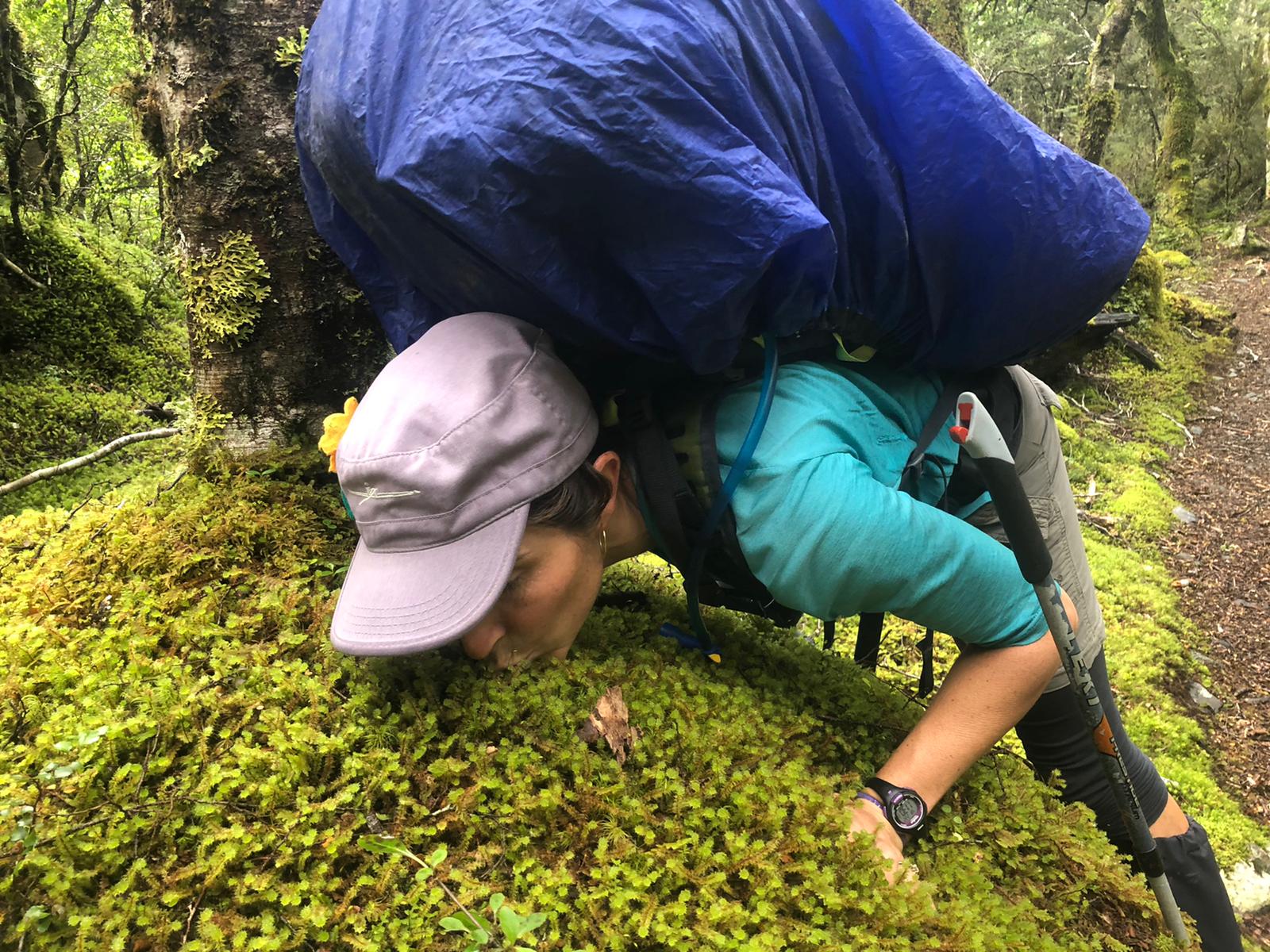
Her brows are lowered, glowering.  Her lower lip is thrust out, railing against a reality that’s standing in her way.  She’s expressing a full-on scowly pout.

Sounds like Naomi, yes?

Close, but not exactly.  I’m ashamed to admit that’s me.  That apple doesn’t fall far from the tree.

It’s amazing how visceral the bodily reaction is, how perfectly I mirror my daughter’s expression.  It gives me more sympathy for her plight.  How often is her autonomy has been threatened or her will thwarted?  Kids often get told that their plans are rubbish, or not well thought out, or needing adjustment….wherever along the spectrum of positivity the parent happens to be that day; it all means they don’t get to do what they want.  I know what that’s like.

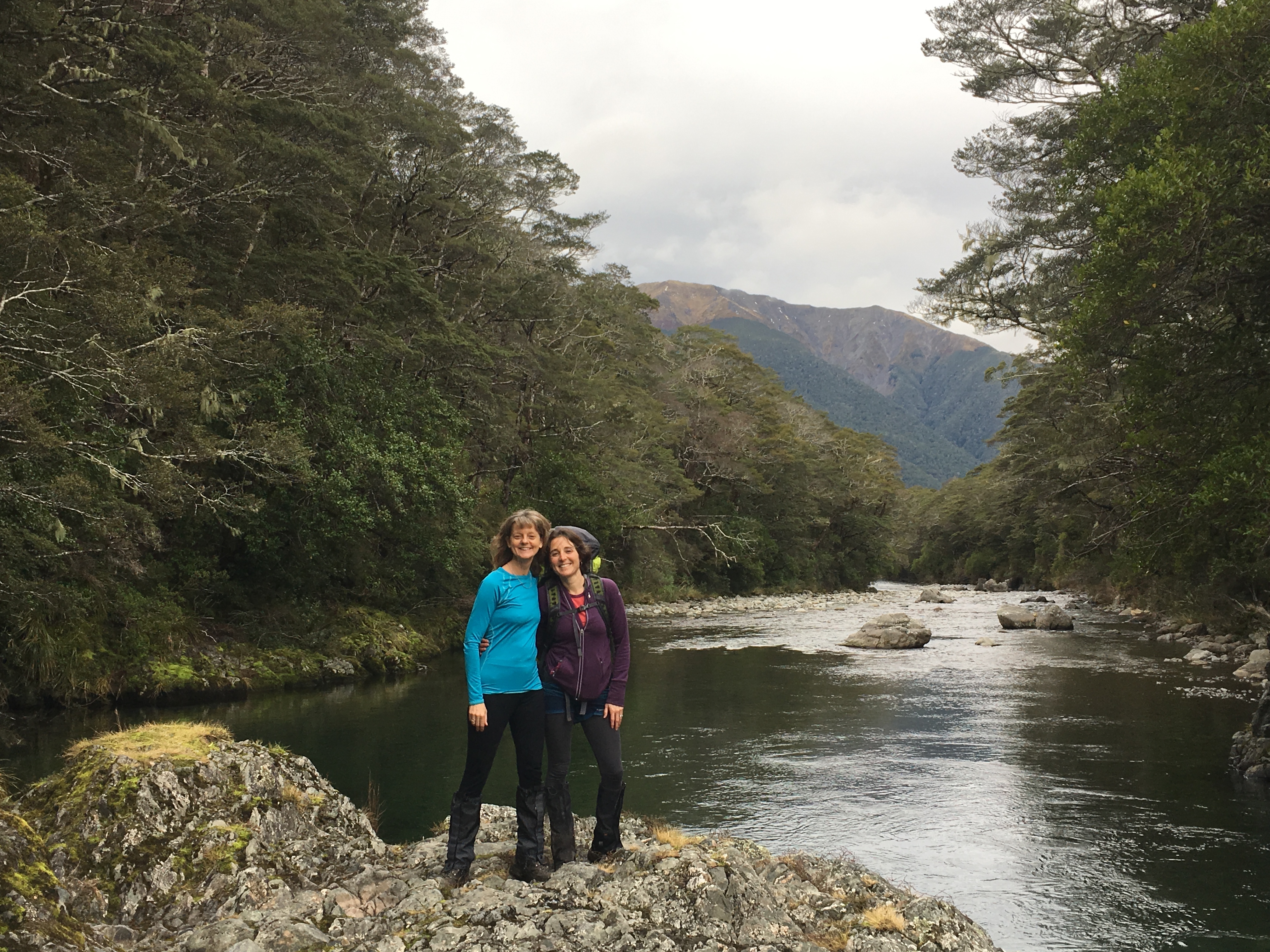
I had planned a hike last weekend with a friend, but on Thursday the text came: “I’m still snotty and grotty with a cold that just won’t go away.  Sorry for the late notice, but I was hoping it would disappear….”

Bummer.

But the forecast was superb for the mountains, and I like hiking alone.  I was still keen to go.  I was definitely NOT keen to stay home.  “I’m hell-bent on going hiking this weekend!” I declared to Jeremiah.  I’m practicing clear spousal communication, can you tell?  He cocked his brow at the rashness of my decision.

The only problem is that we hadn’t decided where we were going to go, and it was Thursday night, and I hate trip planning…..which unfortunately is part of any trip. Sigh.

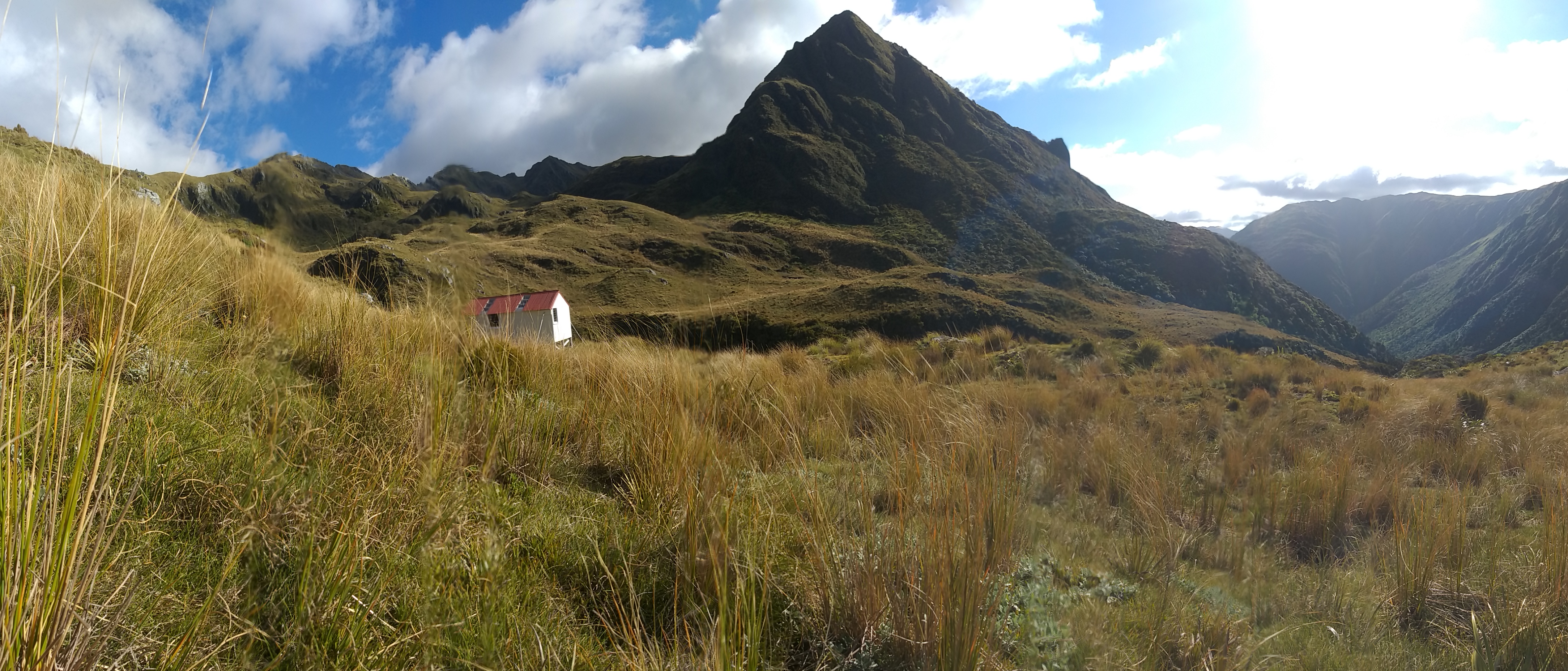
I looked at Pfiefer bivvy, working out if I was gutsy enough to find my own way up a creek bed, over a trail-less ridge, and down a scree run.  Maybe not this weekend.

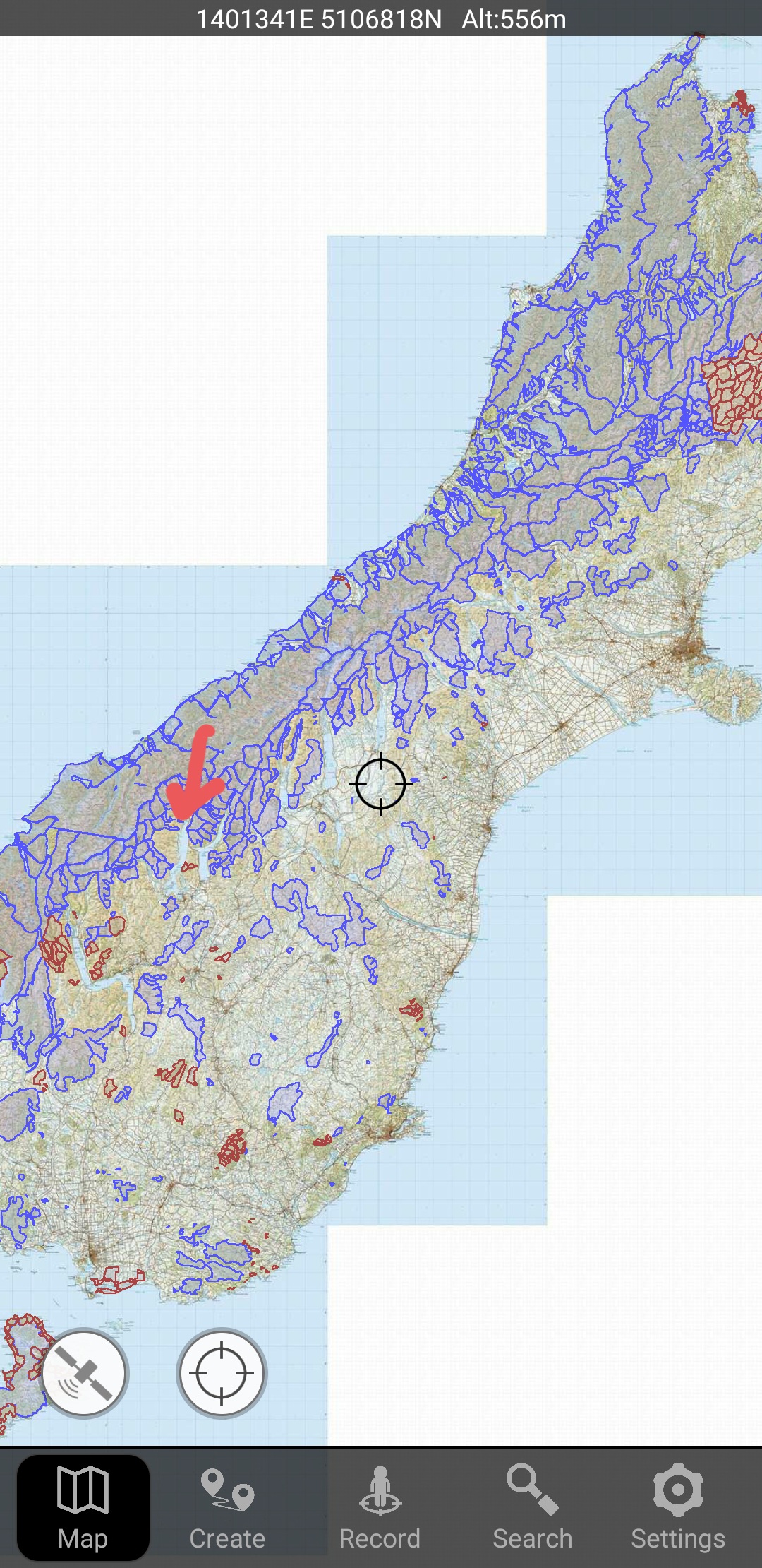
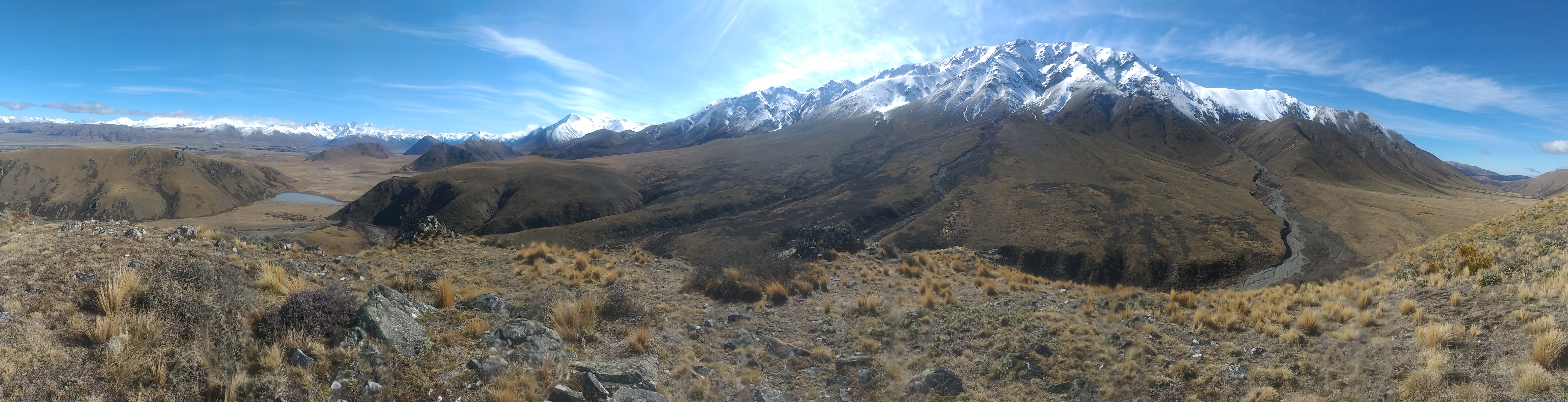
Then I noticed Mt Aiken on the map.  I had been wanting to hike that one for a while now, and the calm wind and sunny forecast made it a tempting prospect.

“I think I’ll hike Mt. Aiken,” I announced.

“How far is it?” Jeremiah queried.

“I don’t know….it’s a day hike.  Starts right at Punchbowl Falls, and splits off from there.”

Jeremiah scrutinized the map.  “That ridge looks a little narrow,” he noted, zooming in on the aerial.  “It might be icy.”  He checked the forecast.  “25 kph wind,” he announced.  “That doesn’t sound very nice.”  His critical view was discouraging.  That’s when my involuntary glower started.  “Well, ‘hell-bent’ as you are on hiking, I think you might get up there and make a bad decision,” he stated, my hyperbole coming back to bite me.

I stared at the laptop screen.  Maps.  I toggled between the aerial view and the topo map, struggling to figure out which were the ridges and which were the valleys.  Ach.  I poured us a beer to see if that would help.  It didn’t, so I went back to the comfortingly tangible job of pulling together hiking food.

Jeremiah started looking at other routes.  Unlike for me, maps are his friends.  “How about Mt Bealey,” he suggested, showing me the features.  There was a big shallow bowl behind the ridge that would make a decent alternative route if the ridge proved to be too sketchy.

Reluctantly I considered it.  I’d feel rather foolish if I got into trouble on a route that I had insisted on taking against my husband’s advice, I was forced to admit.  But I think I can decide for myself when a climb is becoming unsafe, and turn back.  Darn.  Caution and frustrating rationality were winning over autonomy and spontaneity, as always, and I resigned myself to taking Jeremiah’s suggestion.

Thankfully we already owned a good topo map of Arthur’s pass, so I quickly finished tossing my stuff in my backpack and went to bed.

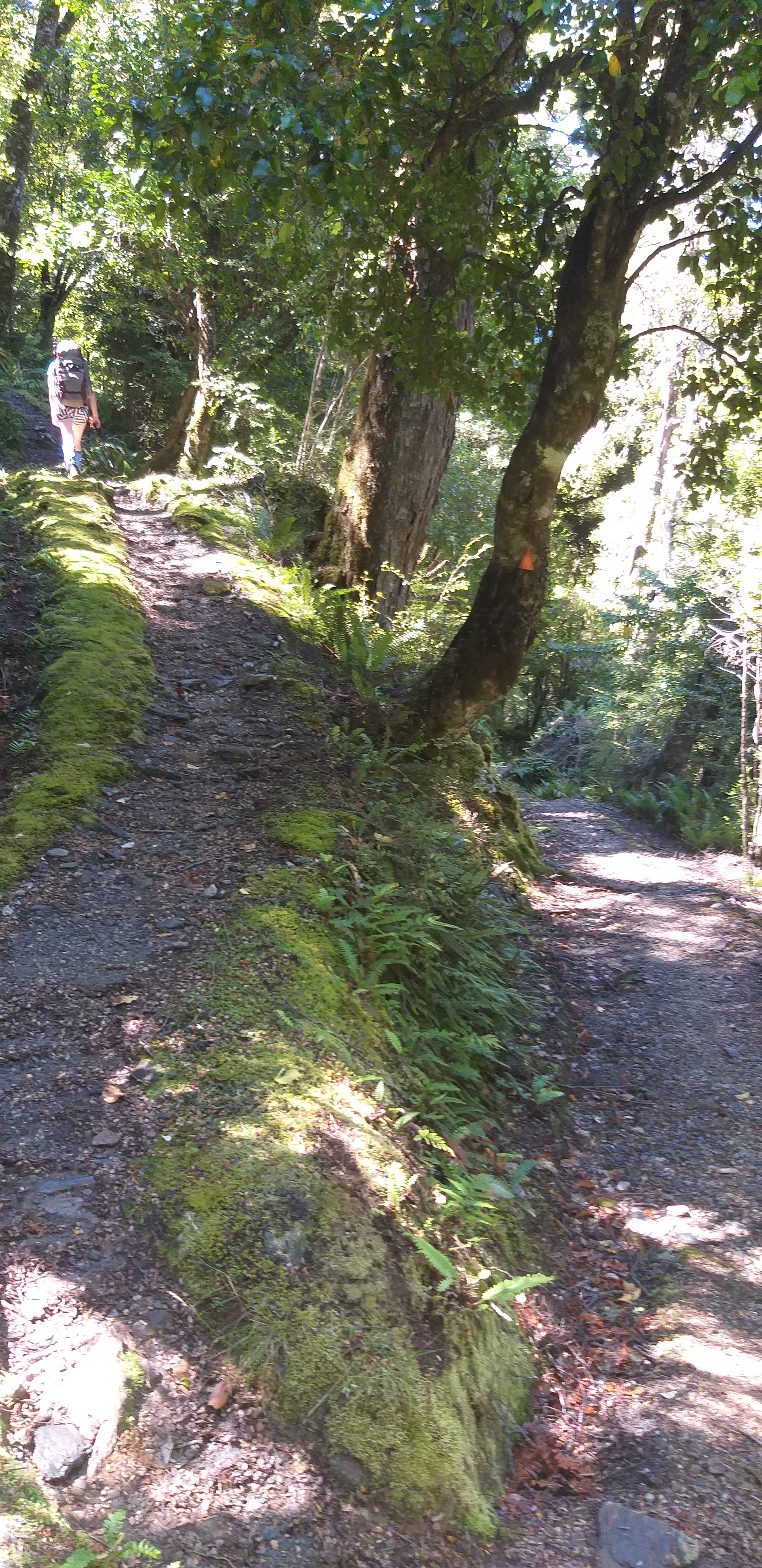
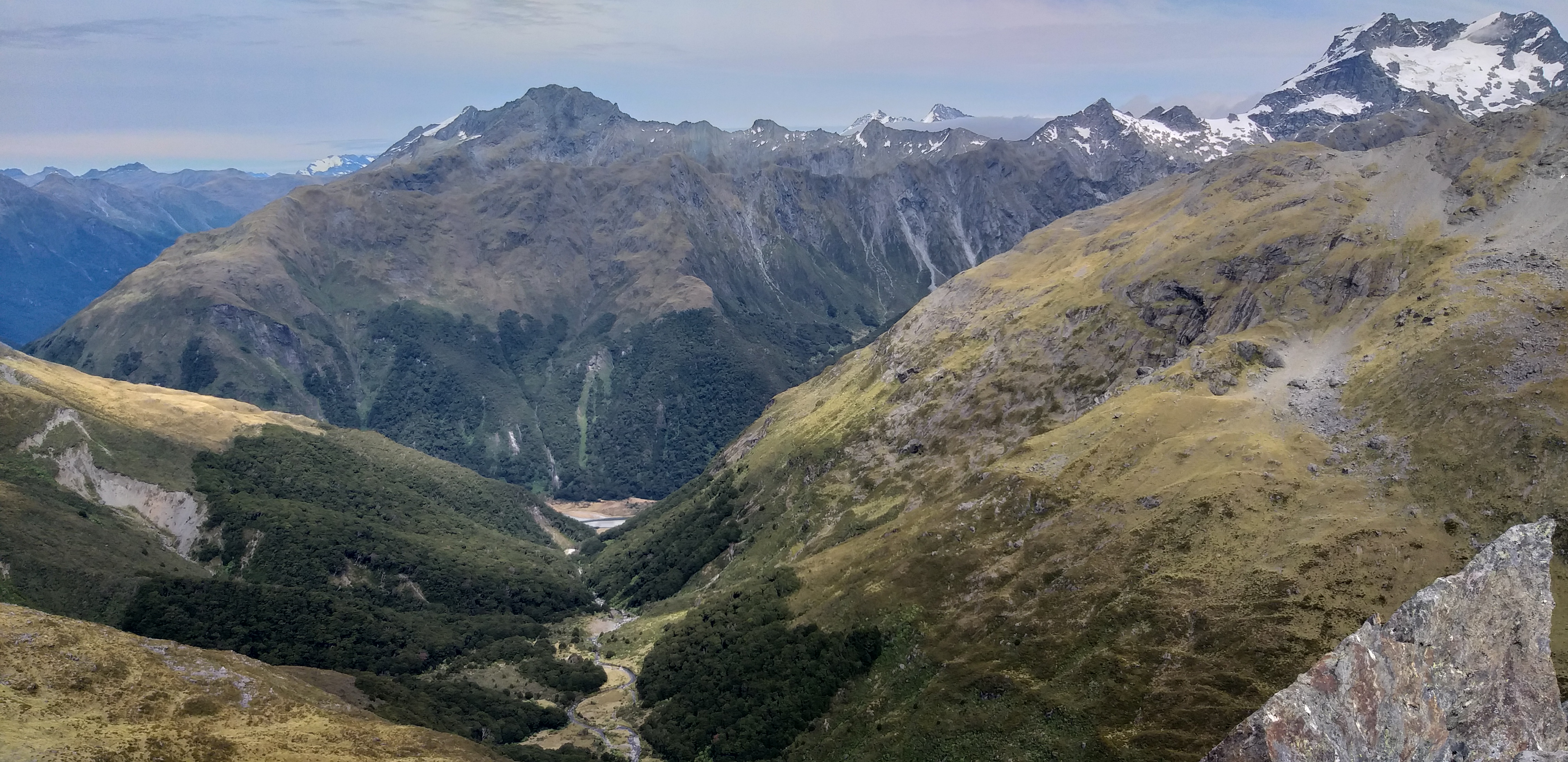
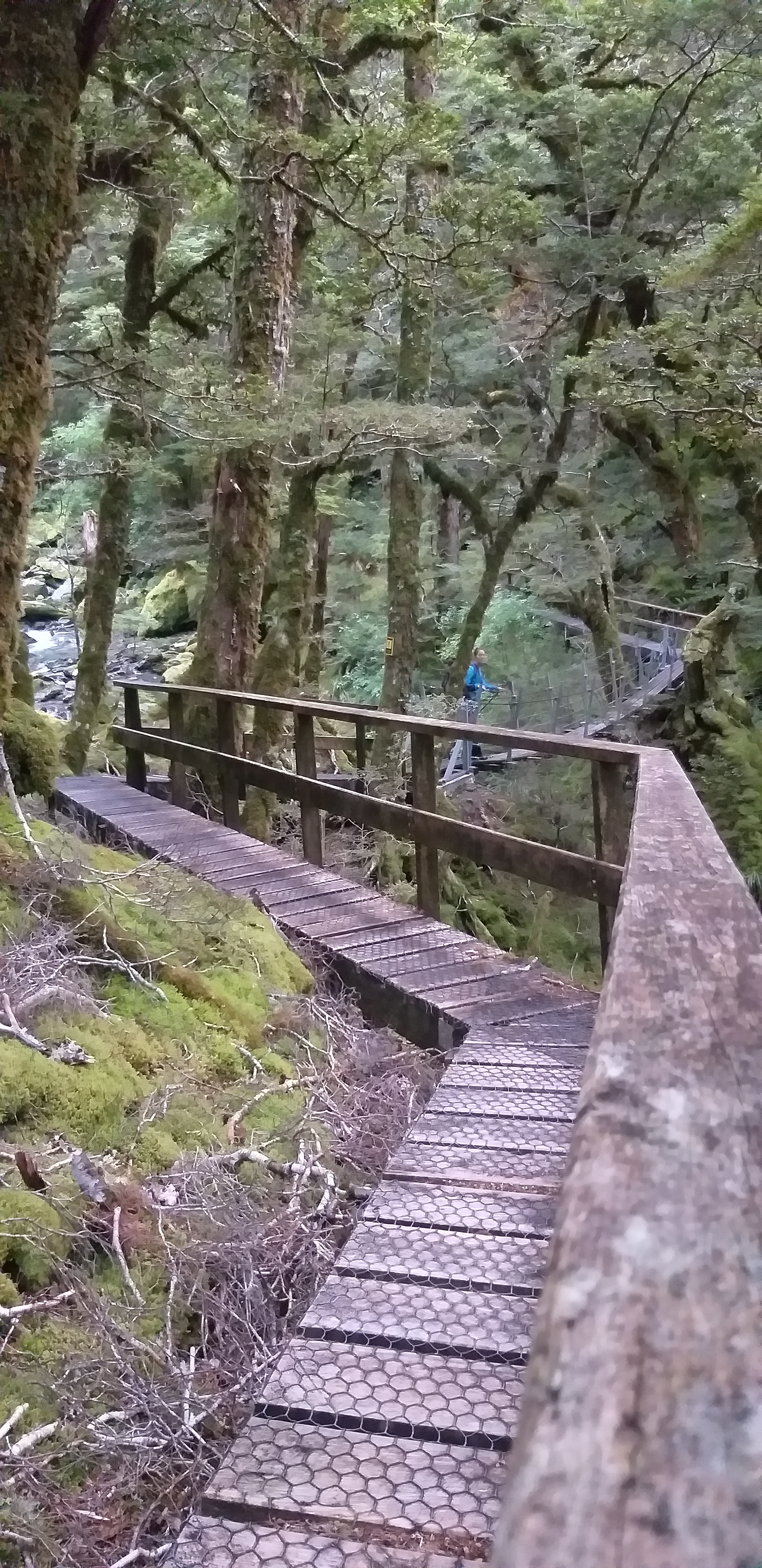
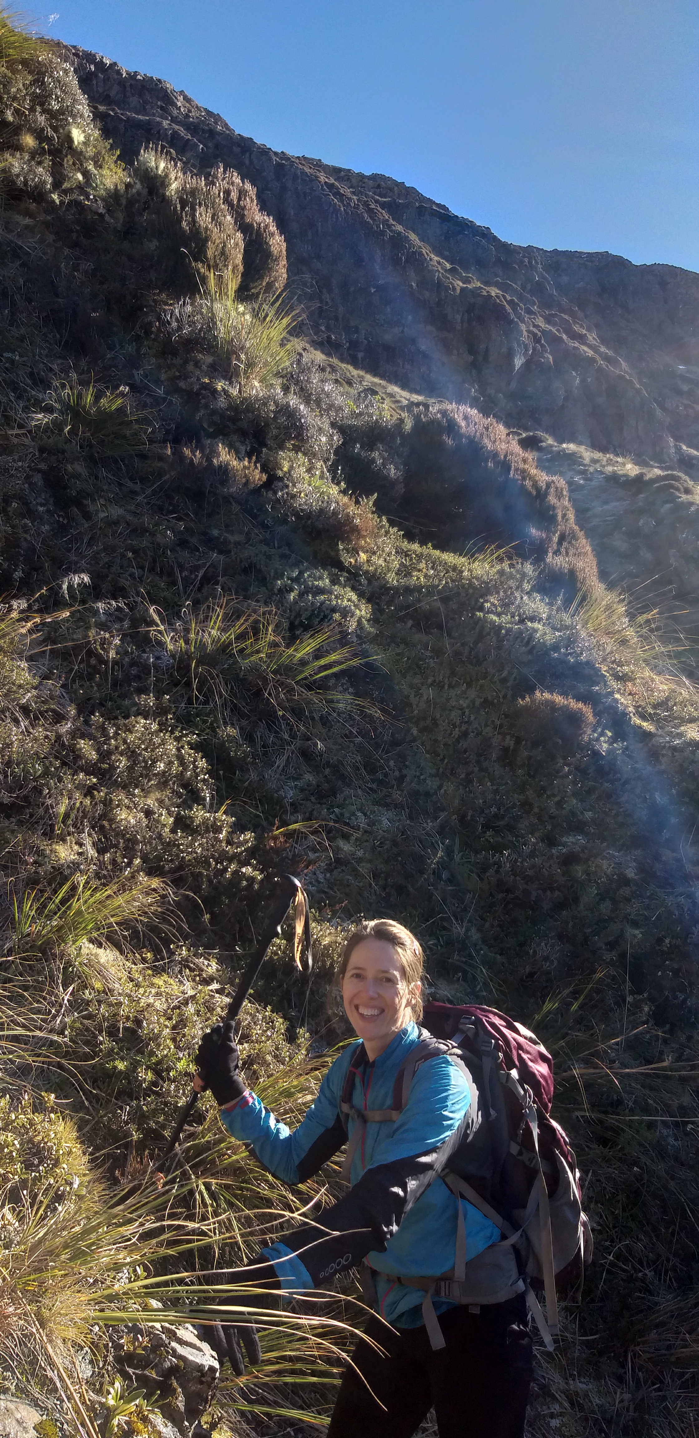
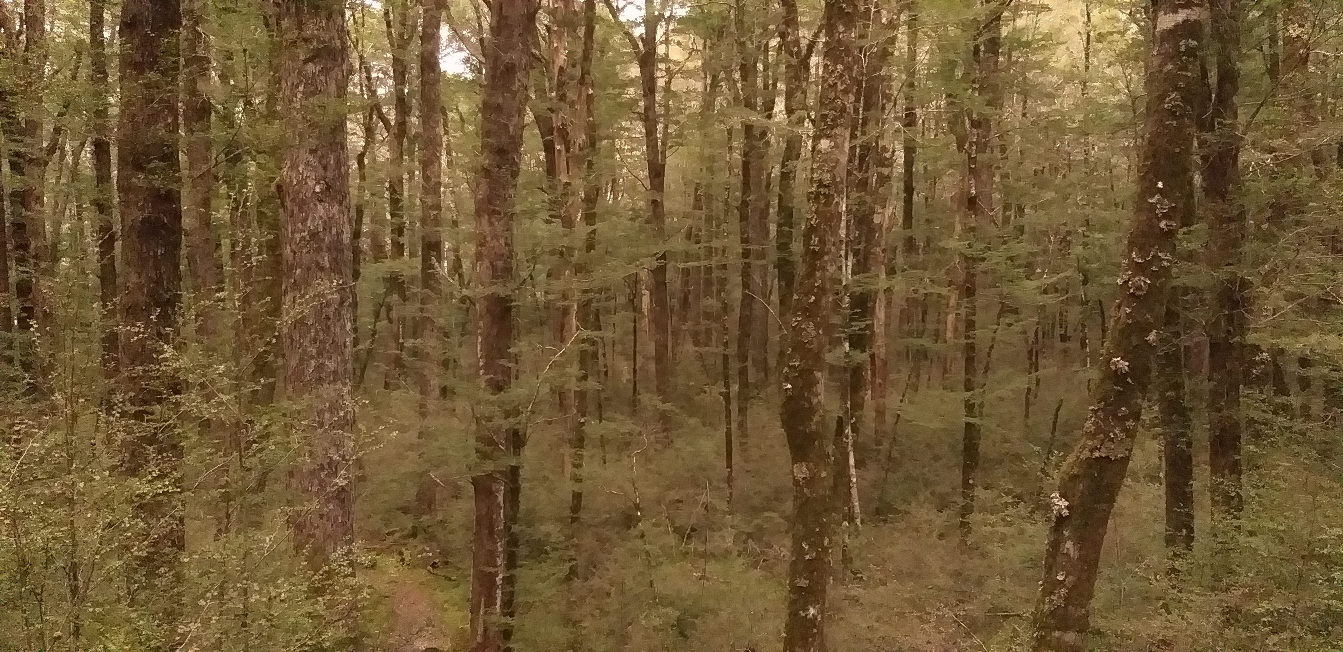
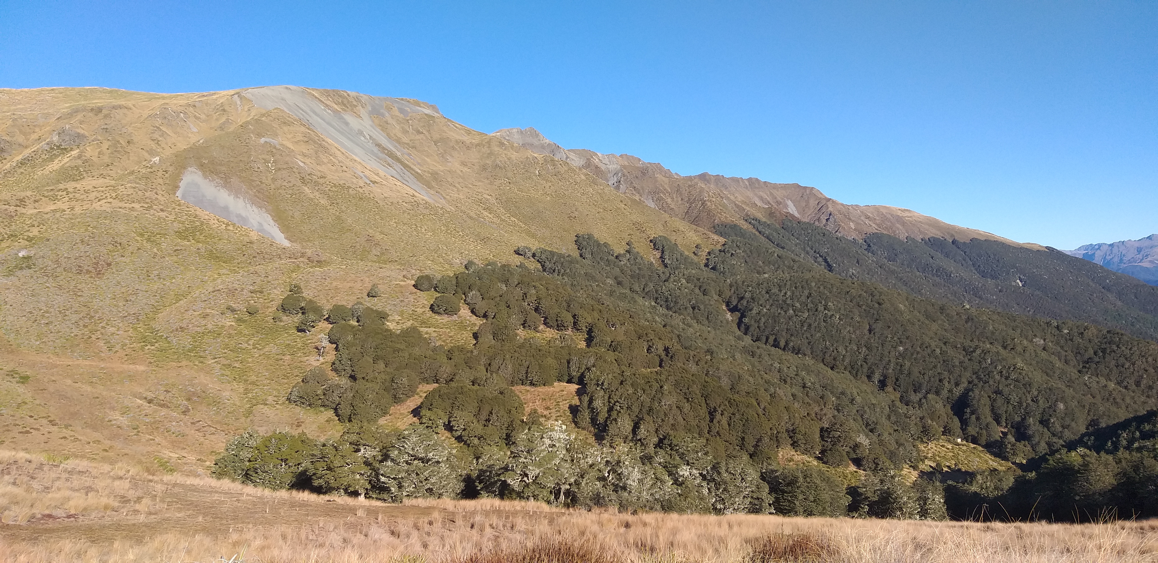
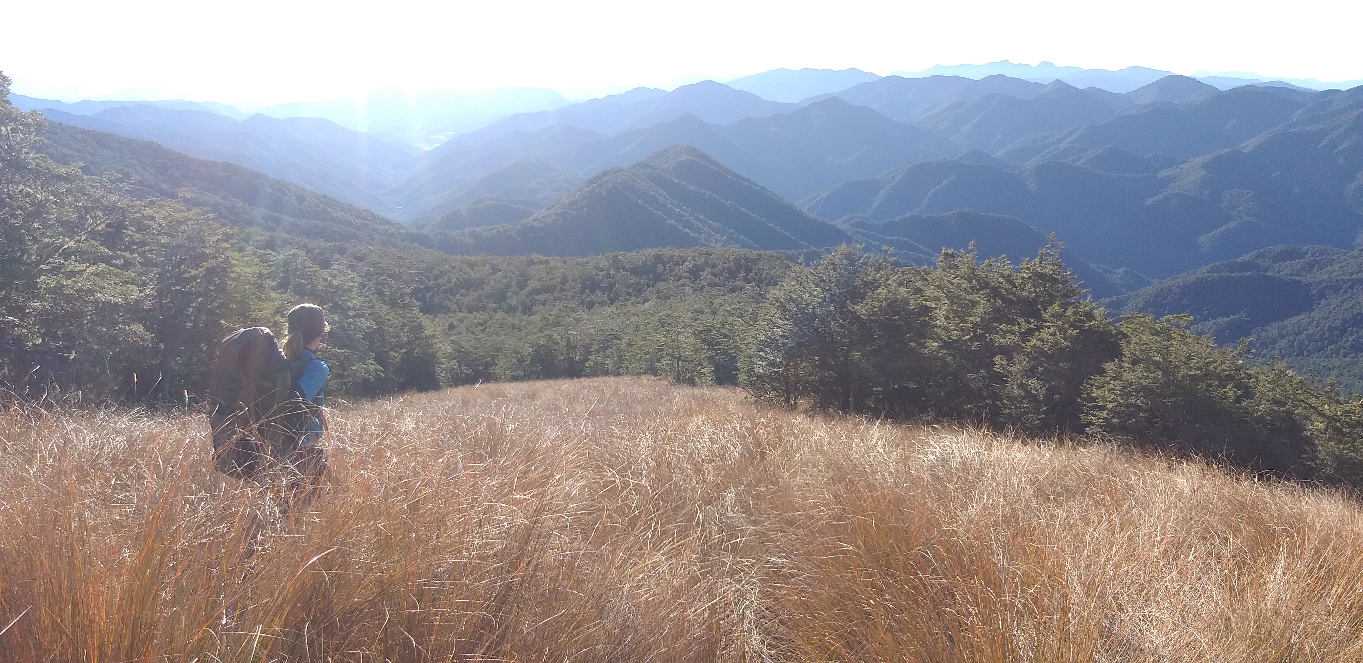
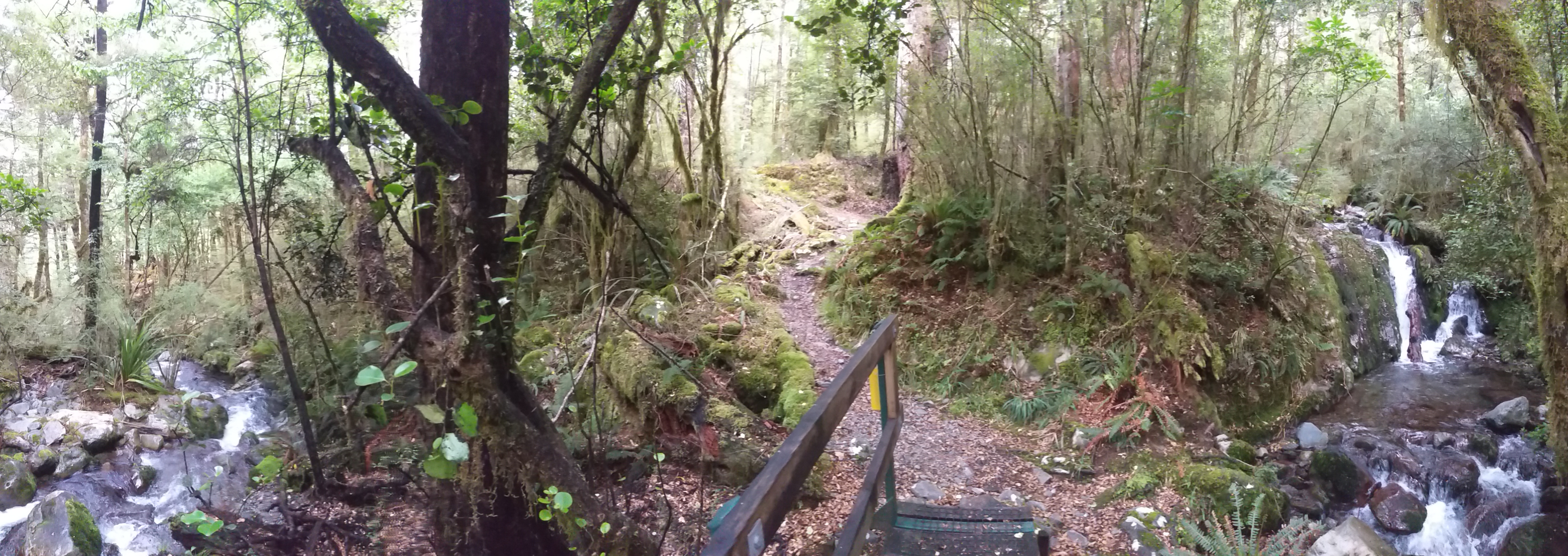
It was sunny by the time I arrived in Arthur’s pass the next morning.  Cold, but a steep climb soon fixed that.  I heard a kea’s screechy call, and admired the long waterfalls coming off the snow-capped peaks.  The route description had said that there was no other safe way down this side than the ridge, and looking at the bluffs, I believed it.

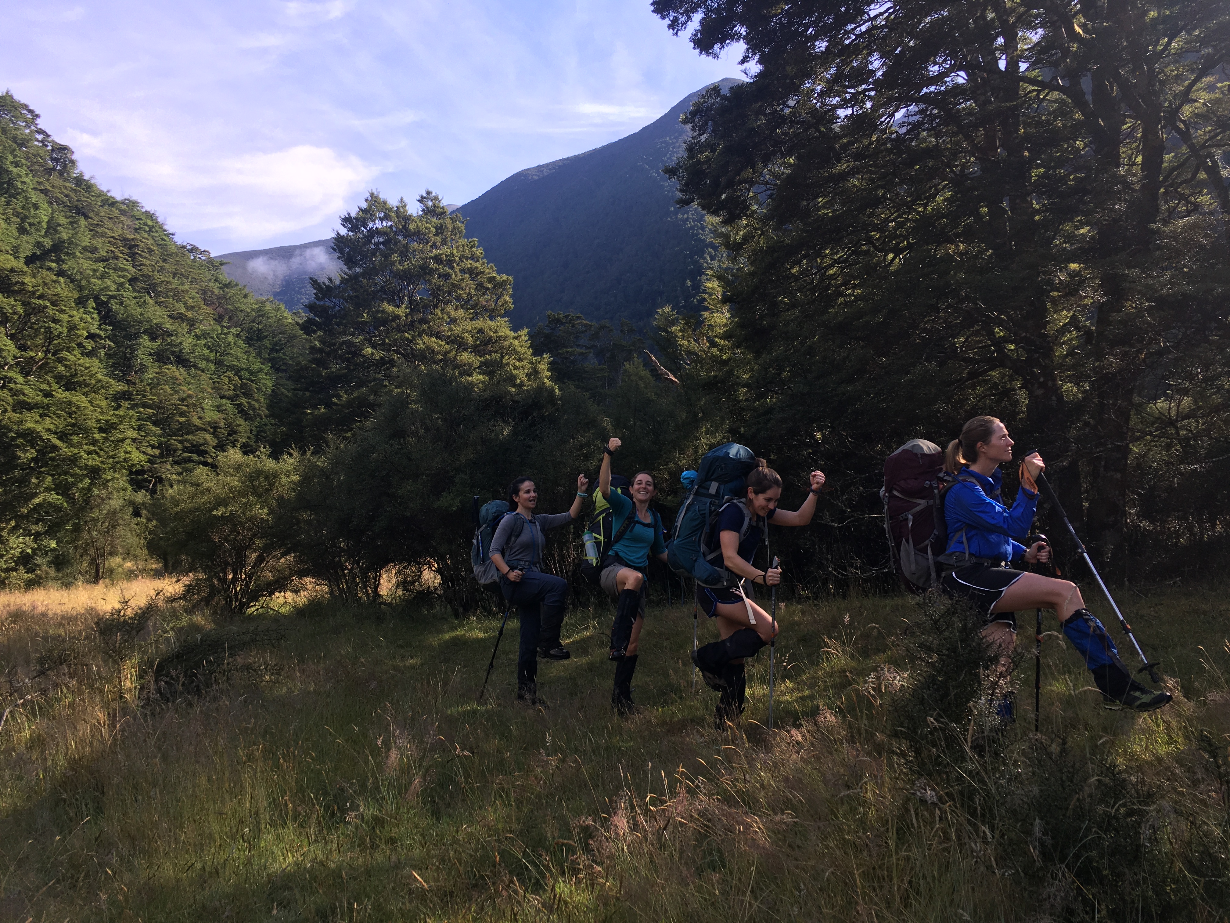
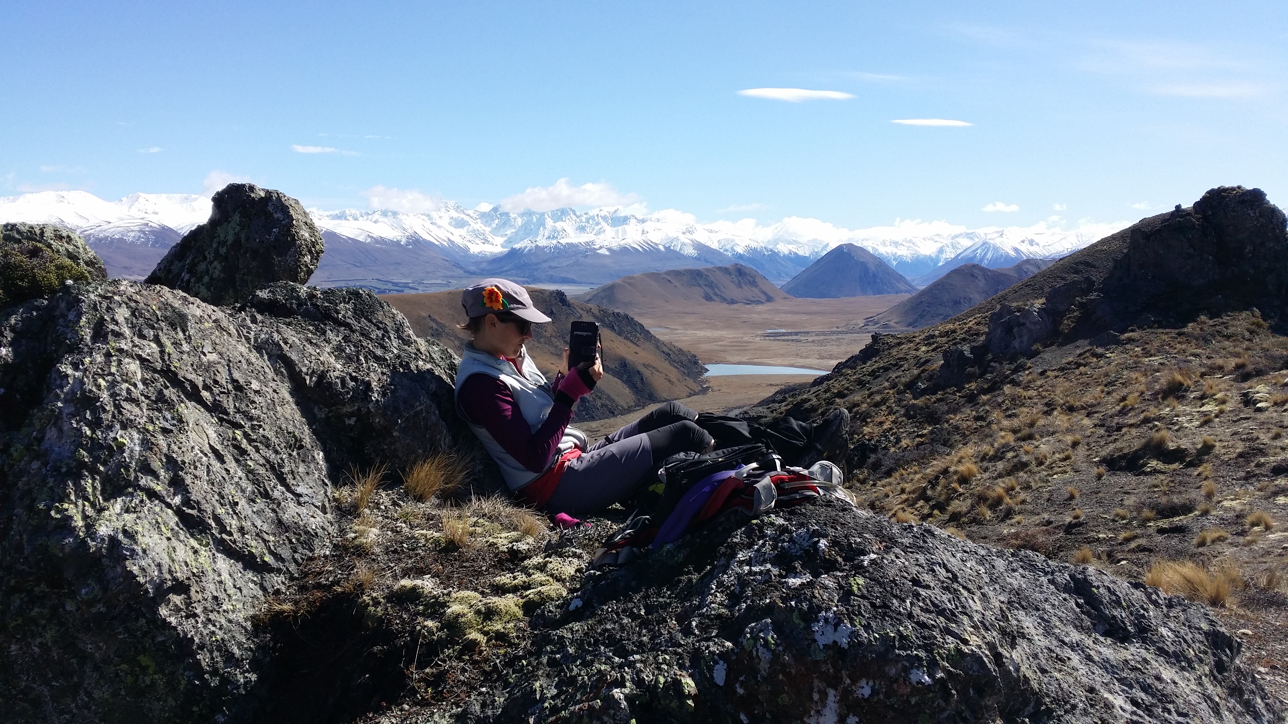
Popping out of the trees, I could see the road far below, and hear the train’s whistle.  Not exactly back country, but the views were panoramic nevertheless.  I climbed through the tussock and reached the first bit of the rocky ridge.  The drop down to the right was a startlingly steep scree slope, so I kept left as much as possible.  Patches of snow began to appear, but they were soft and safe in the sun.  I reached a high point after a cautiously poking my way along a cornice, comfortingly solid under my stick.  I checked my phone—reception, and data too.  I sent Jeremiah a text.  “I’m on the small peak before bealey, going well.  I’m going to tootle along a bit more and check out the next ridge.”  I might as well keep him updated, he was probably afraid of being left to raise two young kids on his own.

I didn’t like that next ridge, as it turns out, so I backtracked a bit, stopped to put on my microspikes and went down and across the big white clean expanse of the bowl behind the ridge. I could see old tracks where someone had gone down on skis, and tracks of a lone hare, but otherwise it was clear and bright, the deep snow smoothing out all the rocks and grass and streams. It’s amazing, gliding along the crusty top of the snow—like what I imagine moon walking to be, but in a much more hospitable environment.

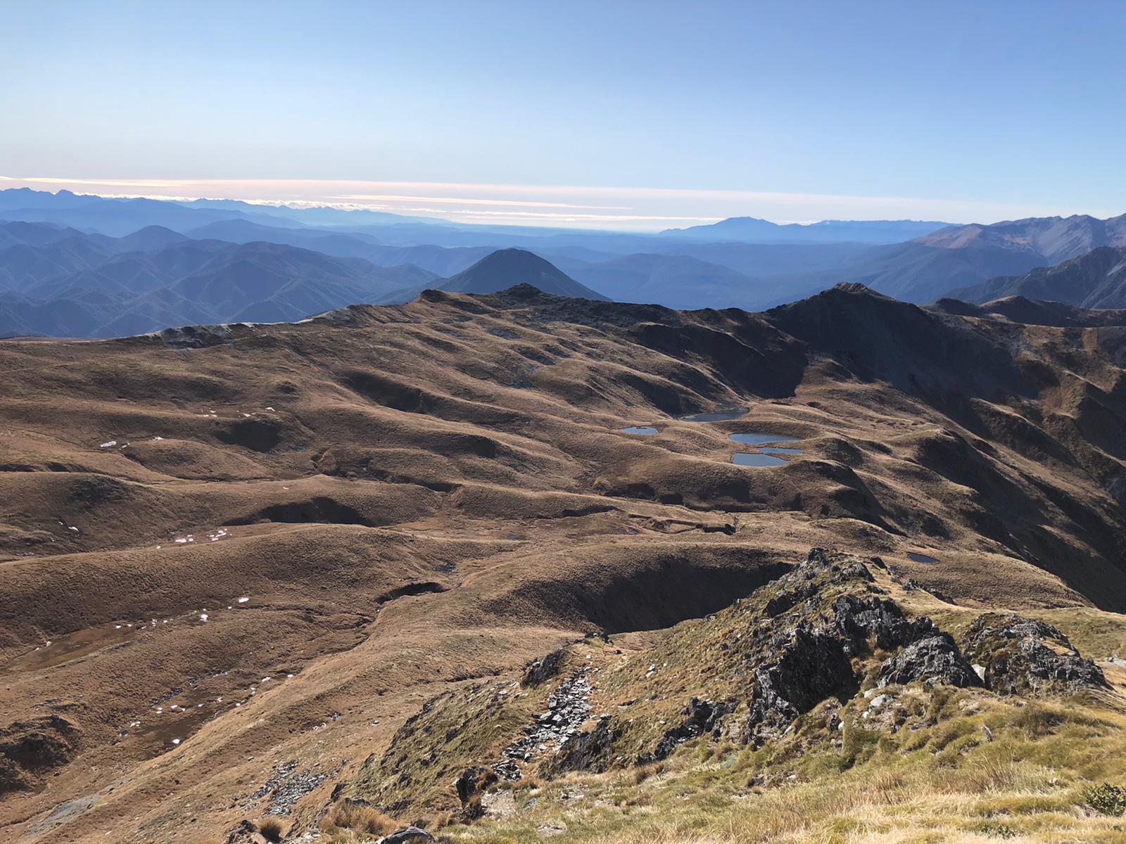
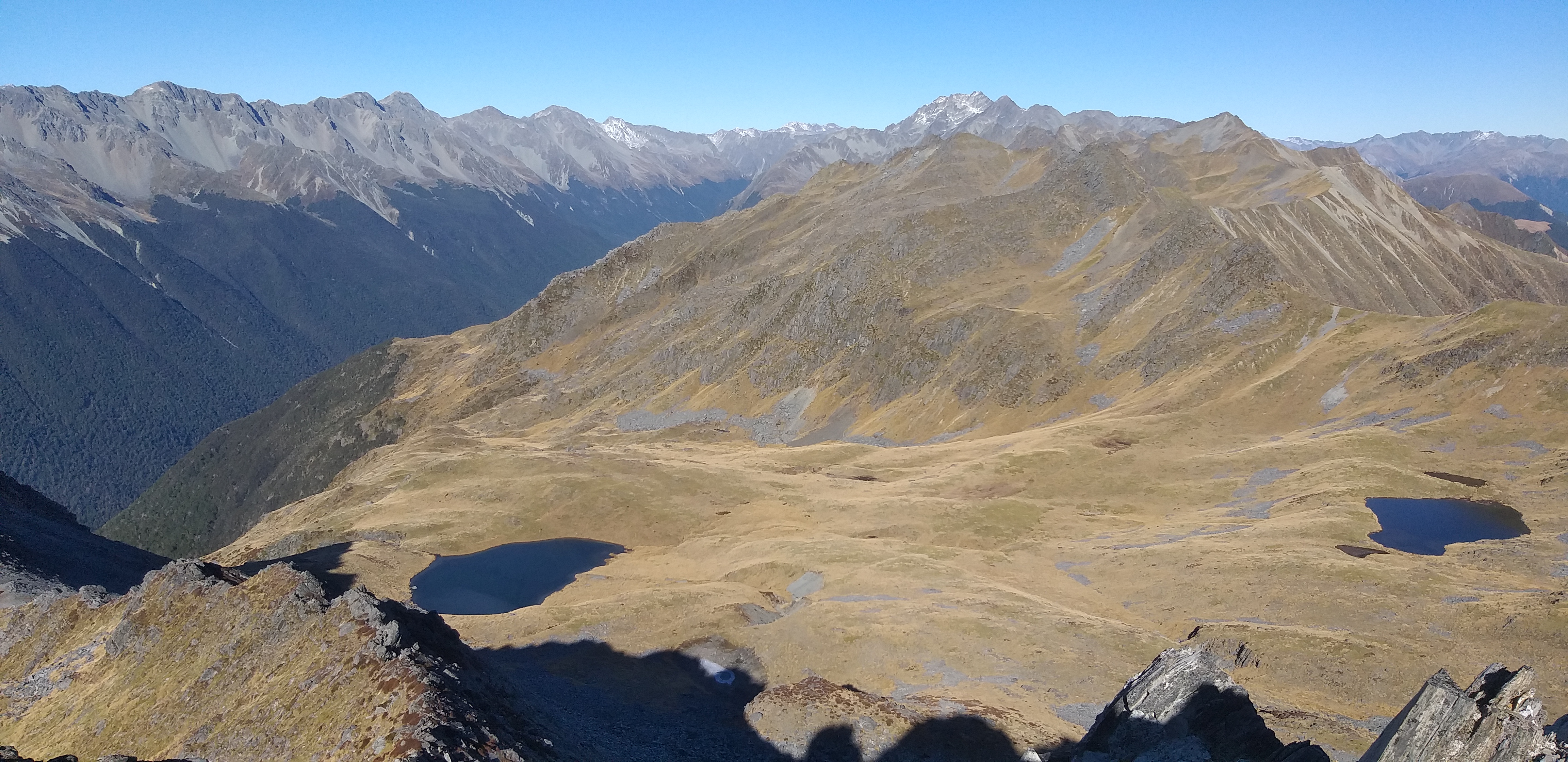
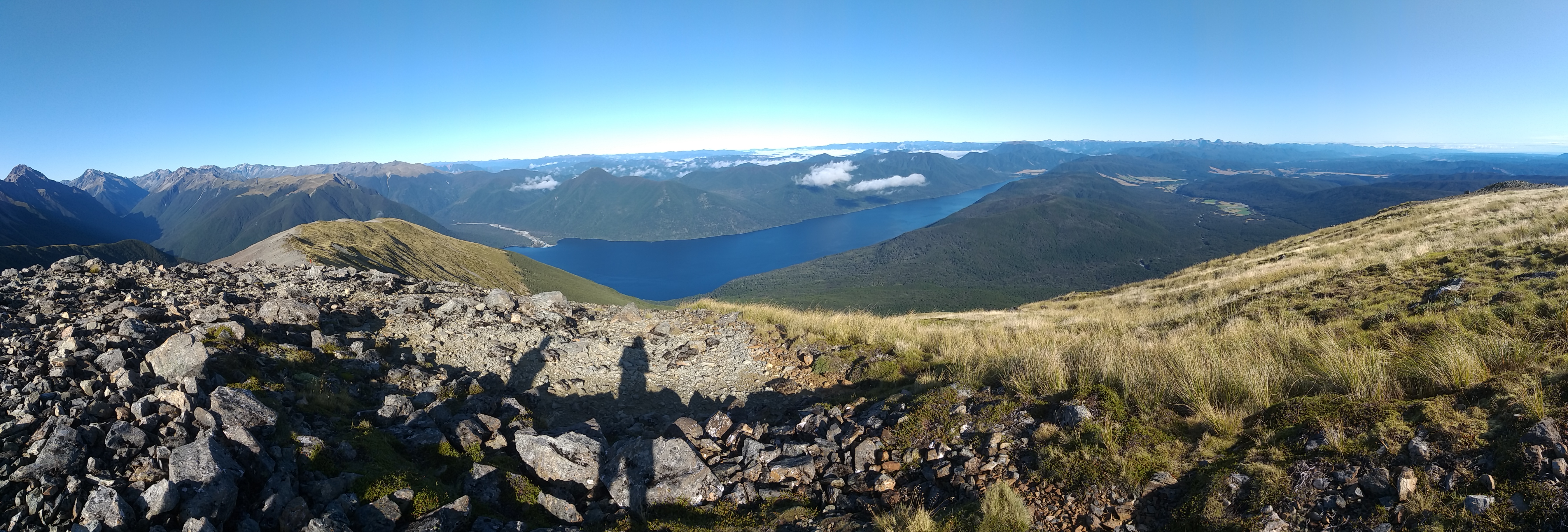
Part way up the next side I put on my snow shoes, climbing a bit of softer snow tipped towards the afternoon sun. It was lunch time when I popped up to the last ridge and trudged up to the summit. The view was exhilarating. Avalanche peak was there to the west, with Mt Rolleston glimmering behind it. In the summer I’m going to come back to the valley beyond Avalanche and walk out the Waimakariri valley I could see below to the south.

Tea time with the Waimakariri river far below.

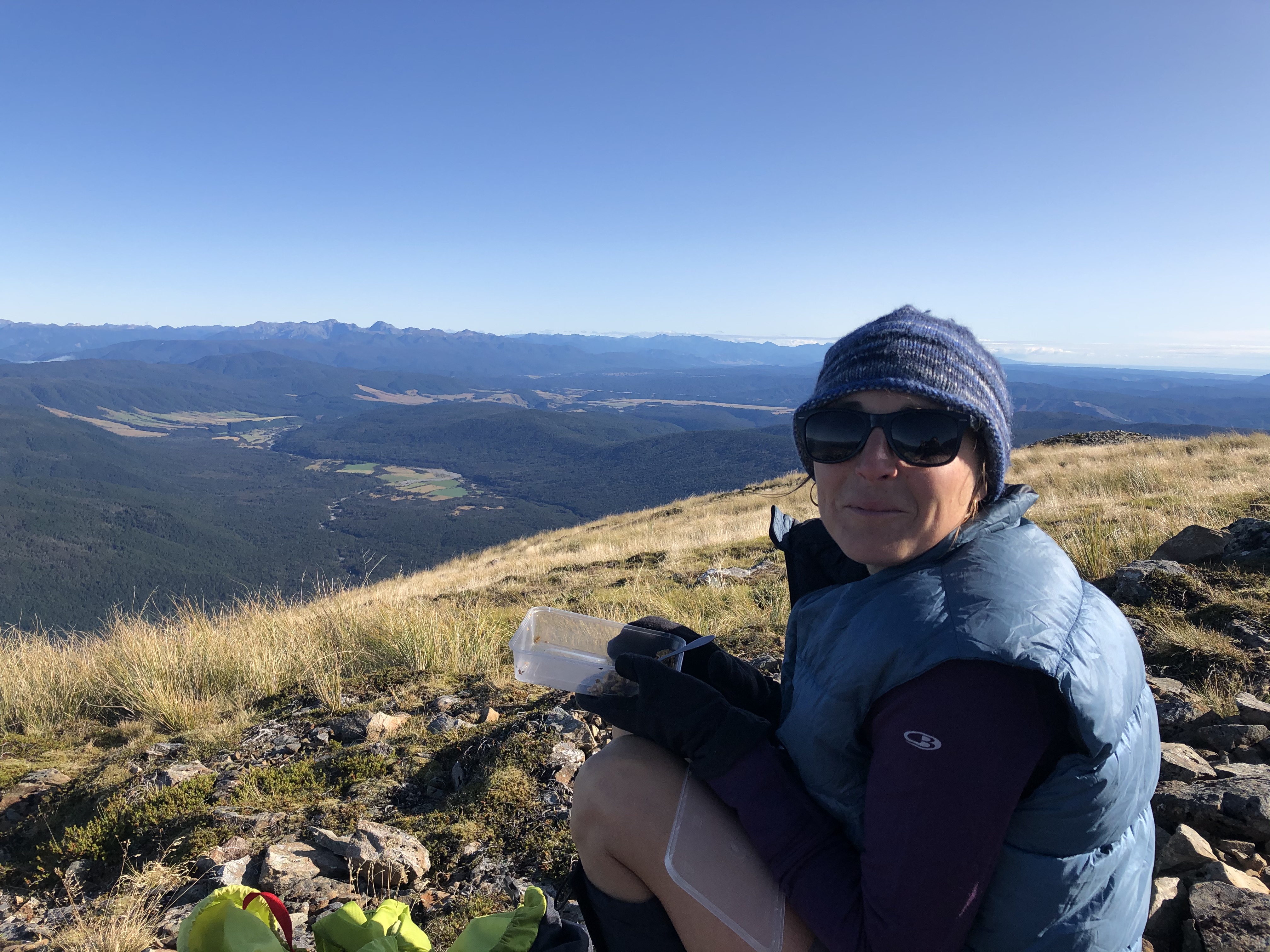
On the way back down I gazed at Mt Aiken to the north across the valley where Arthur’s Pass village hunkered.  The rocks on the ridge line looked dry, with the snow in the shadier side just behind and below the ridge.  It had only taken me half a day to reach the summit of Mt Bealey; maybe tomorrow there would be time to try Mt Aiken.

It was before 2:00 when I reached the tree line again, and stopped for afternoon coffee. I was carrying that stove and gas can, I might as well use it to the max! The village below was already in the mountain shadow, so I decided to stay put for a while. I had phone reception, so I caught up on messages, thought about life, and lounged in the sun for nearly two hours before finishing the descent through the trees.

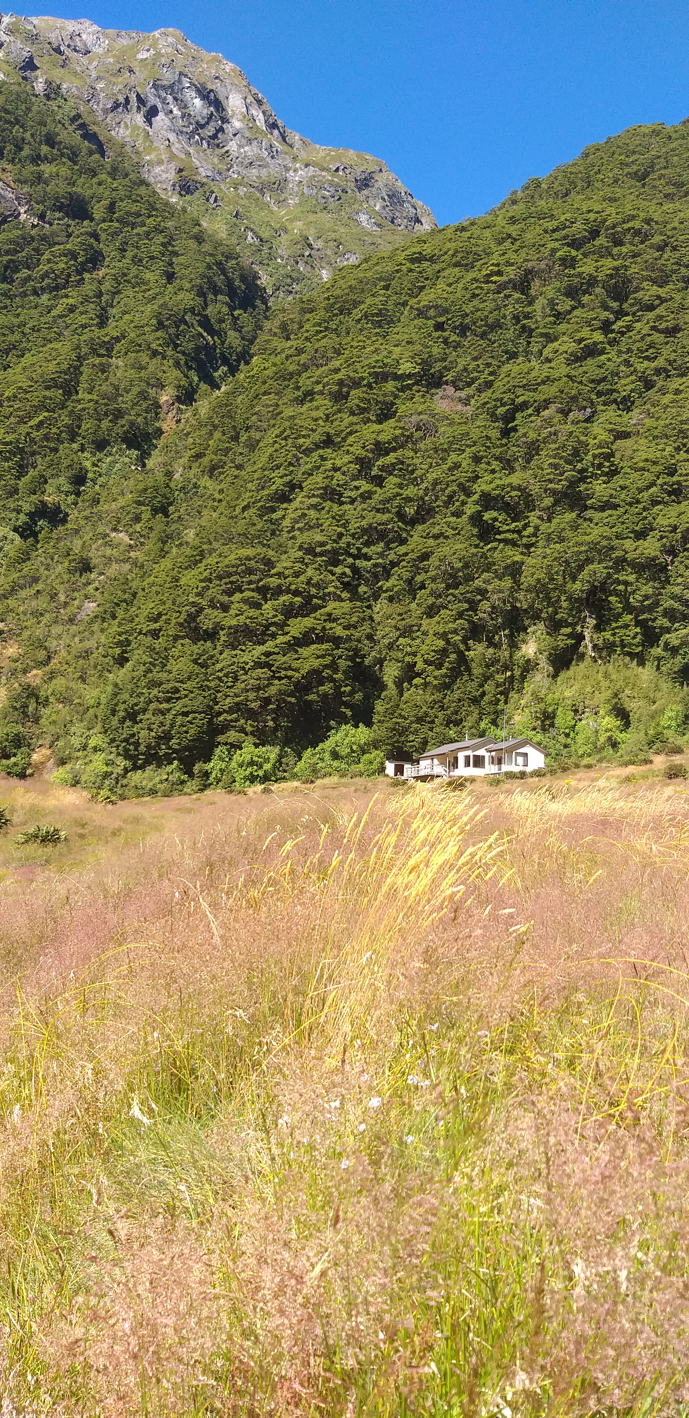
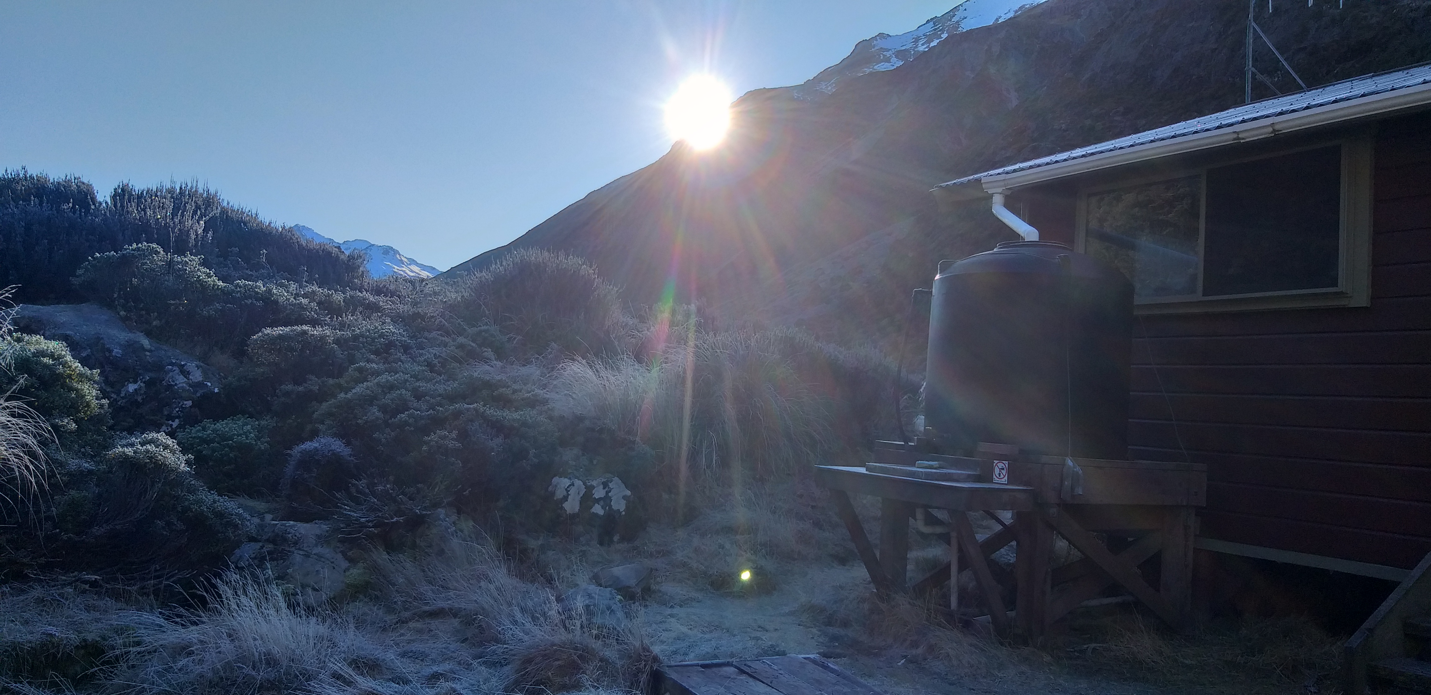
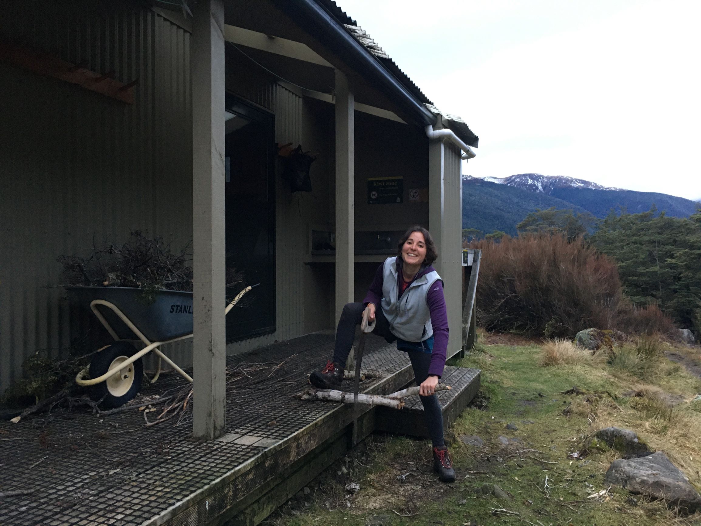
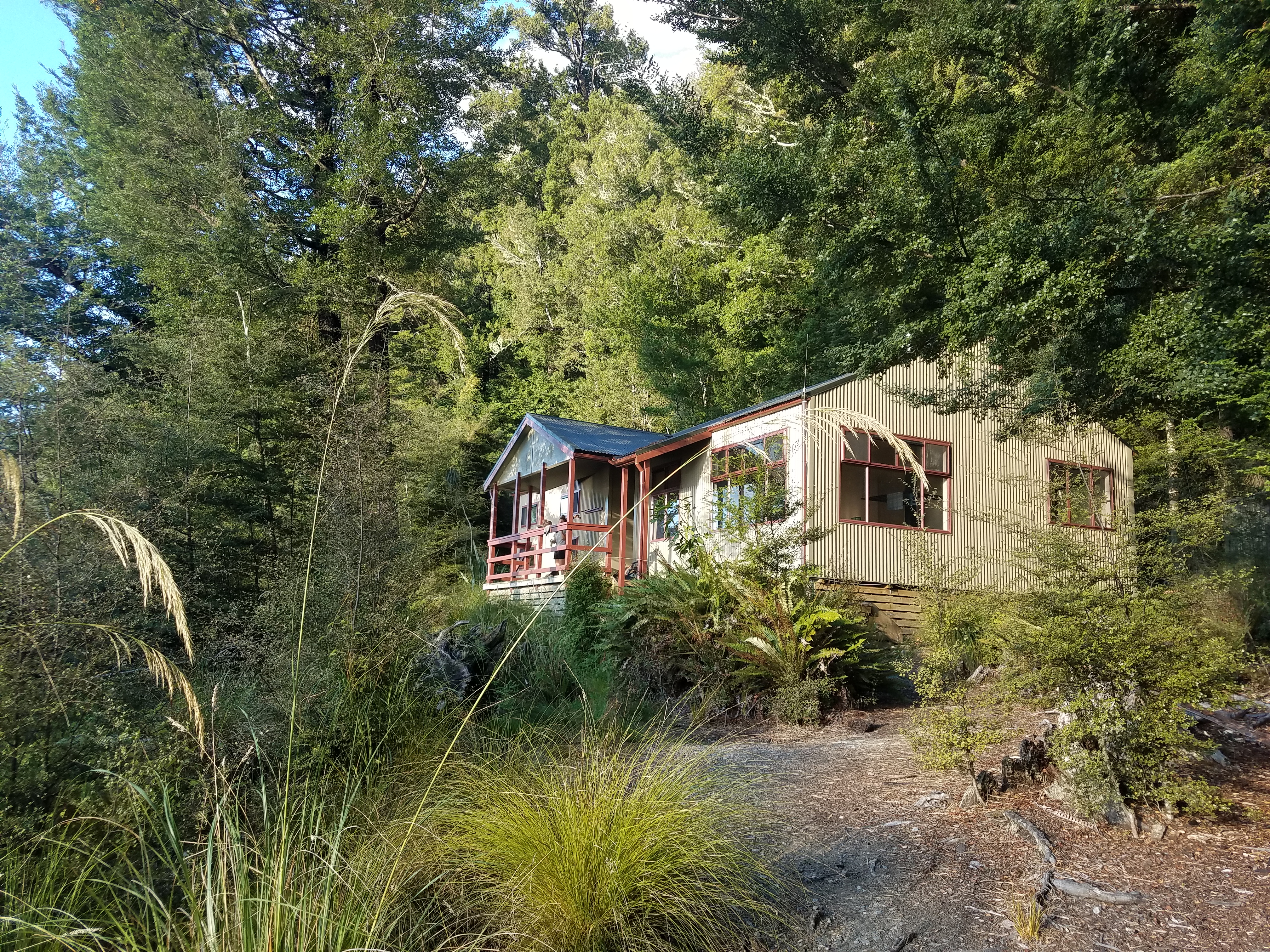
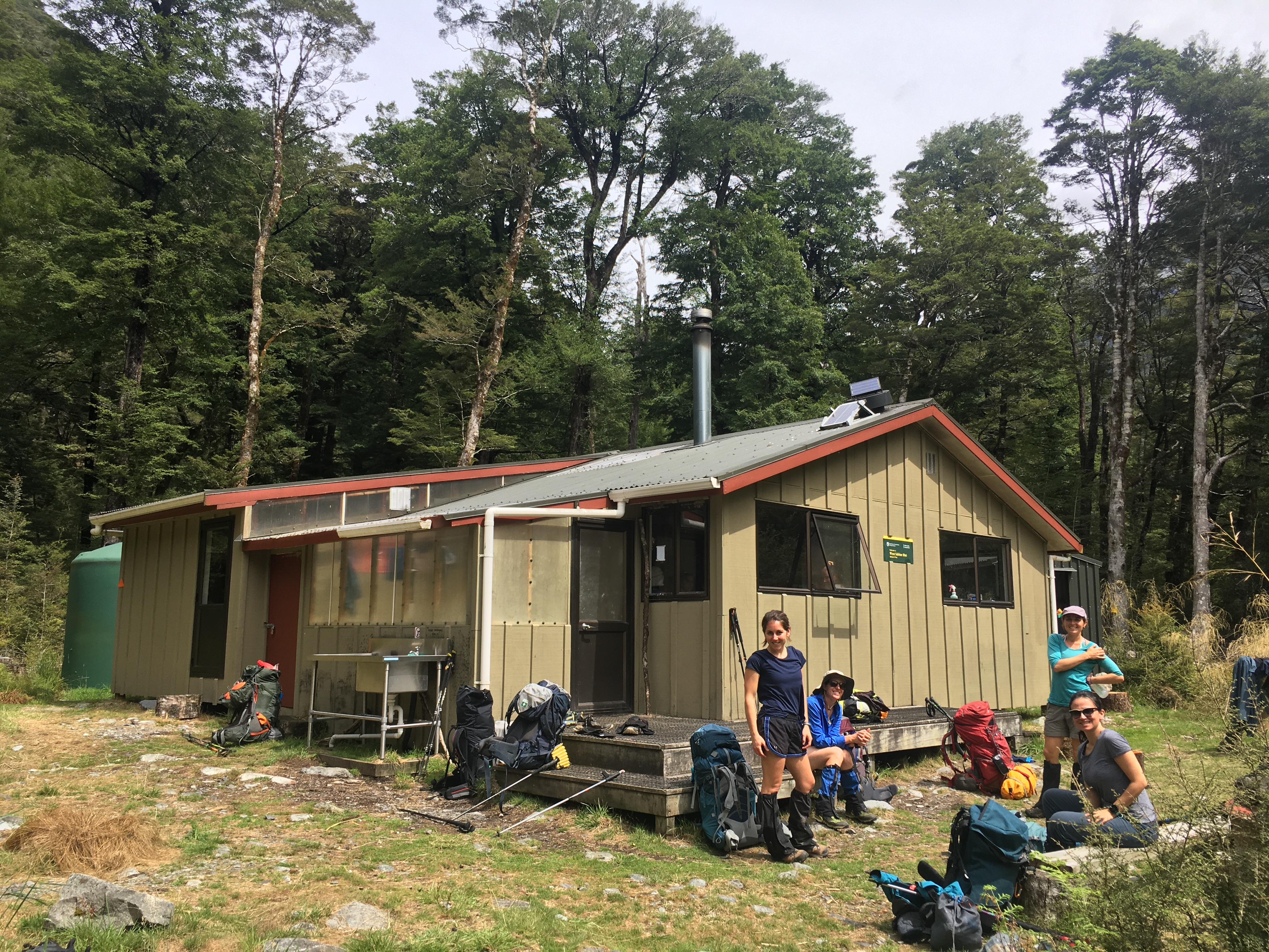
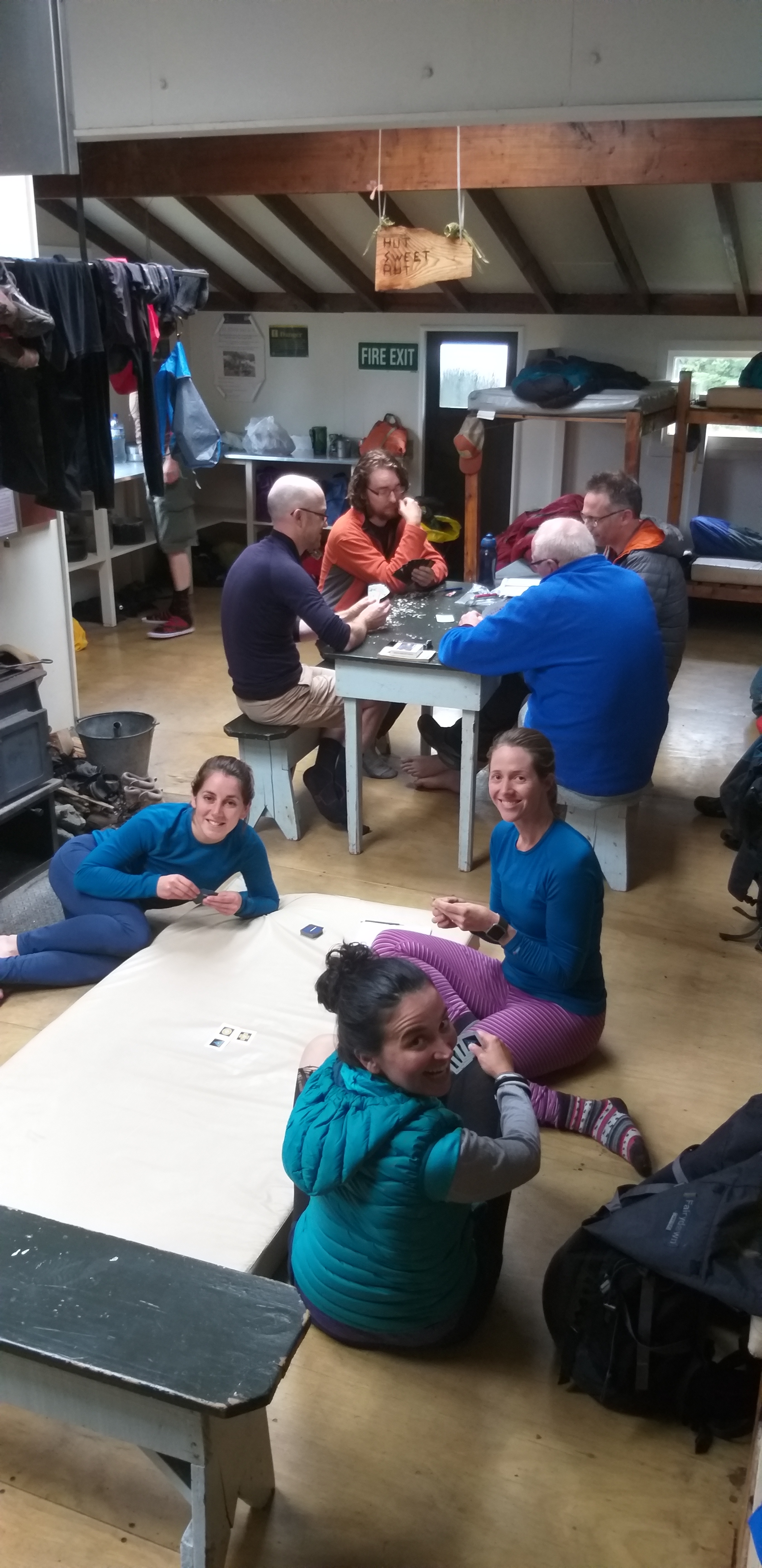
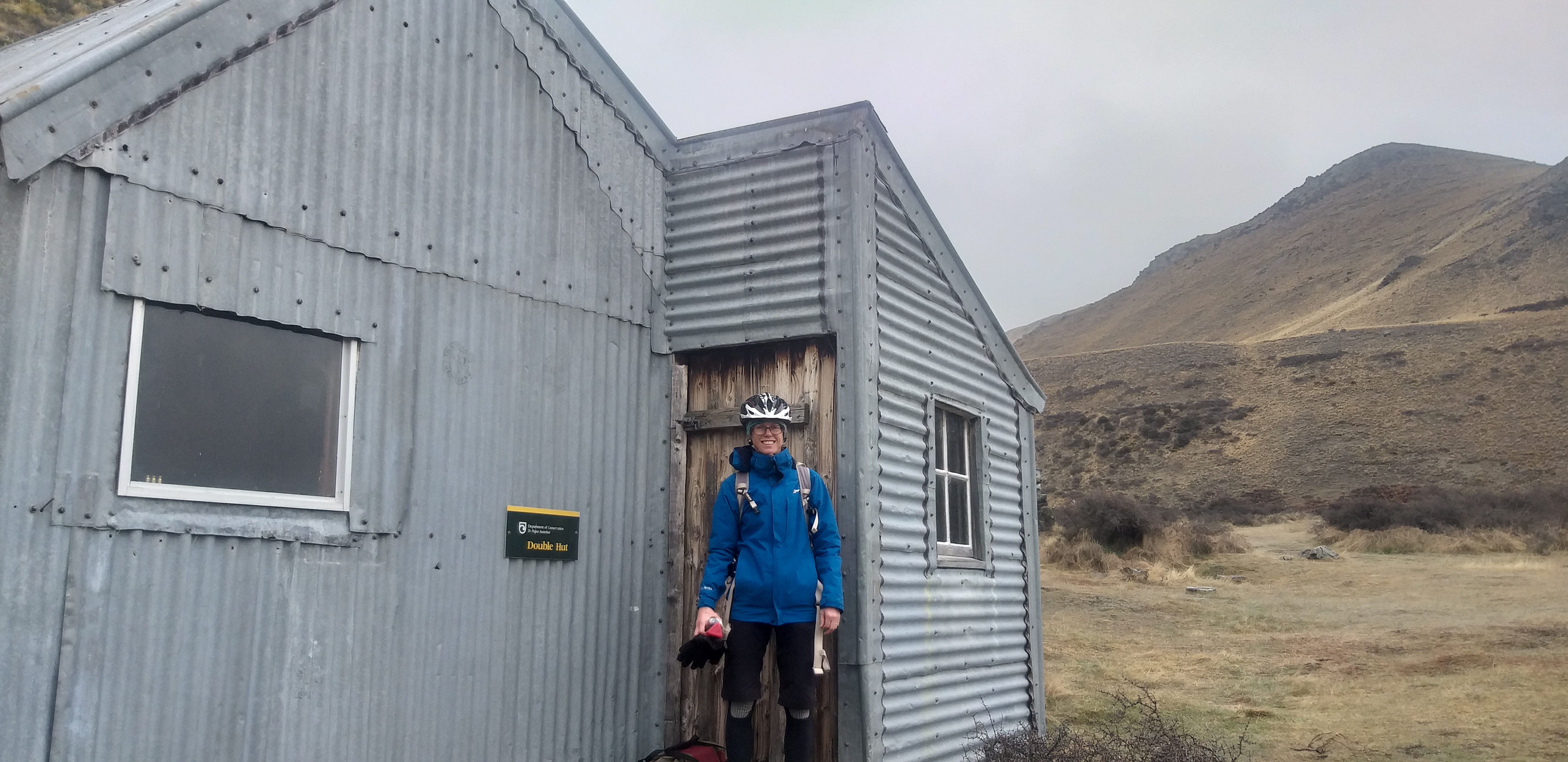
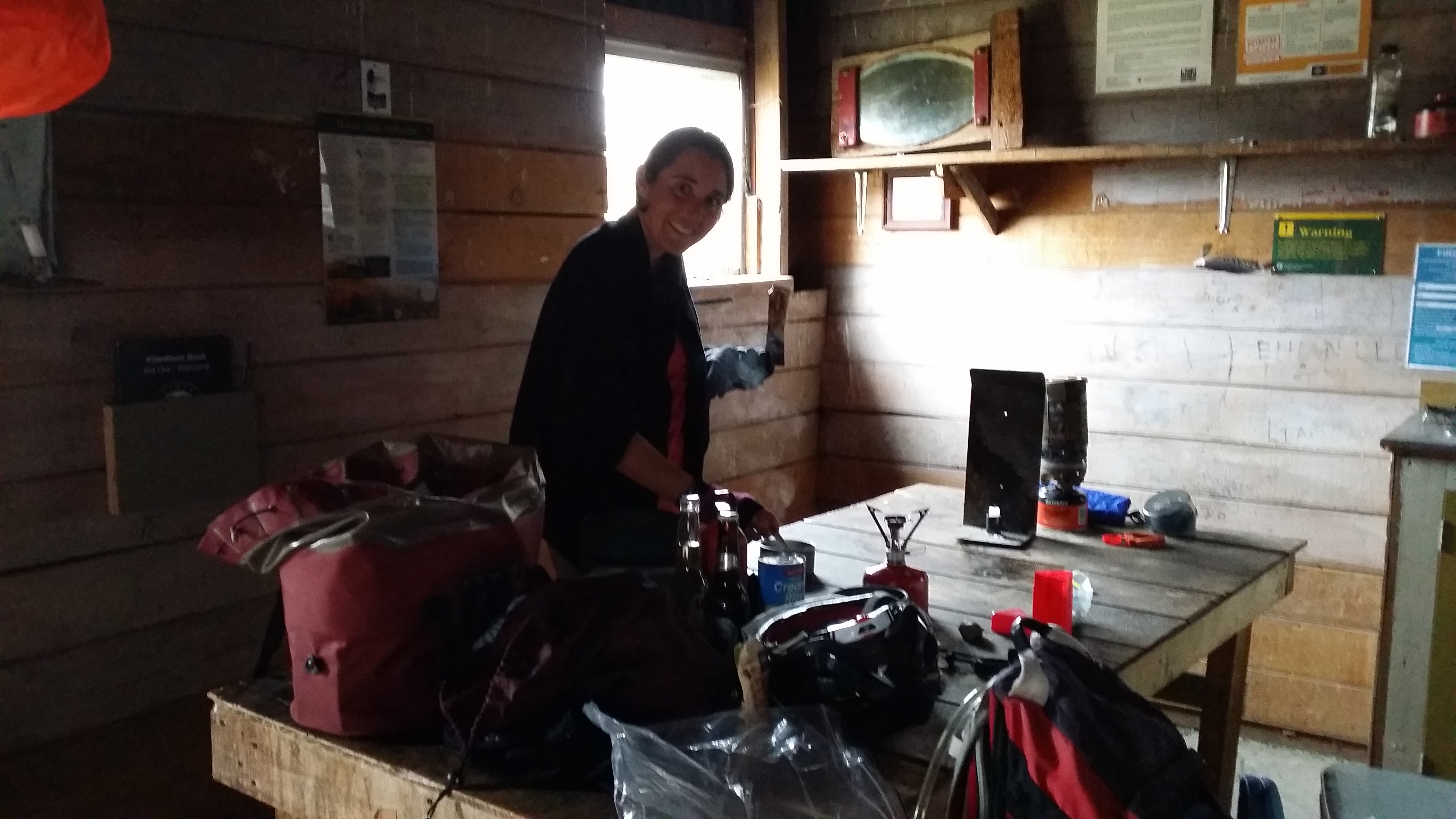
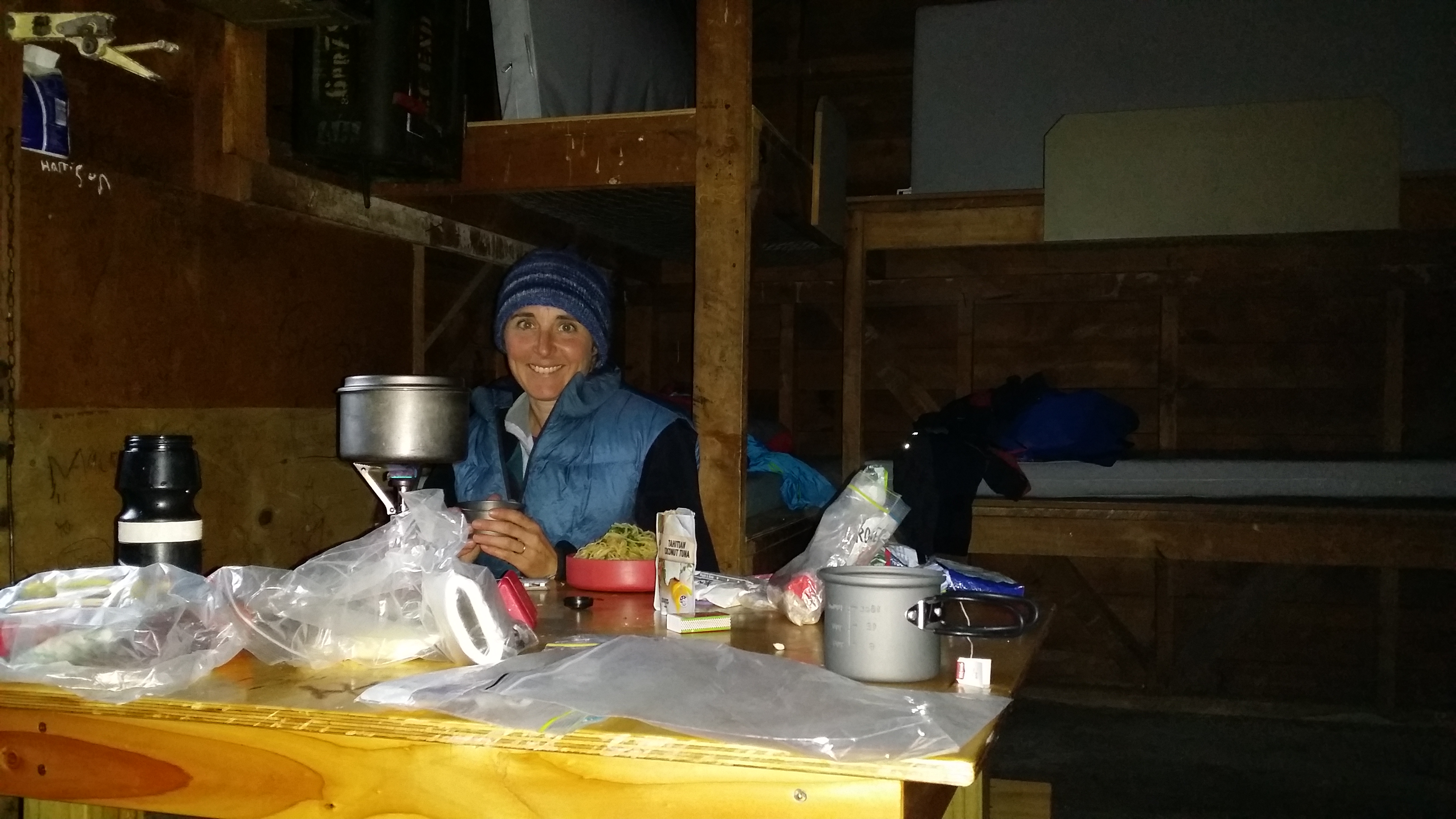
I stayed in the Alpine Club’s lodge Saturday night.  “Lodge” makes it sound fancy, but it’s not; more like a rough bach.  Passable and cheap.

Next morning I started up Mt Aiken. It was windy and chilly in the village, but as I climbed it got still.  Odd, but maybe the wind is funnelled over the pass and maybe the trail was sheltered by the mountain to the west?  Anyway, I wasn’t complaining.  I heard another kea.

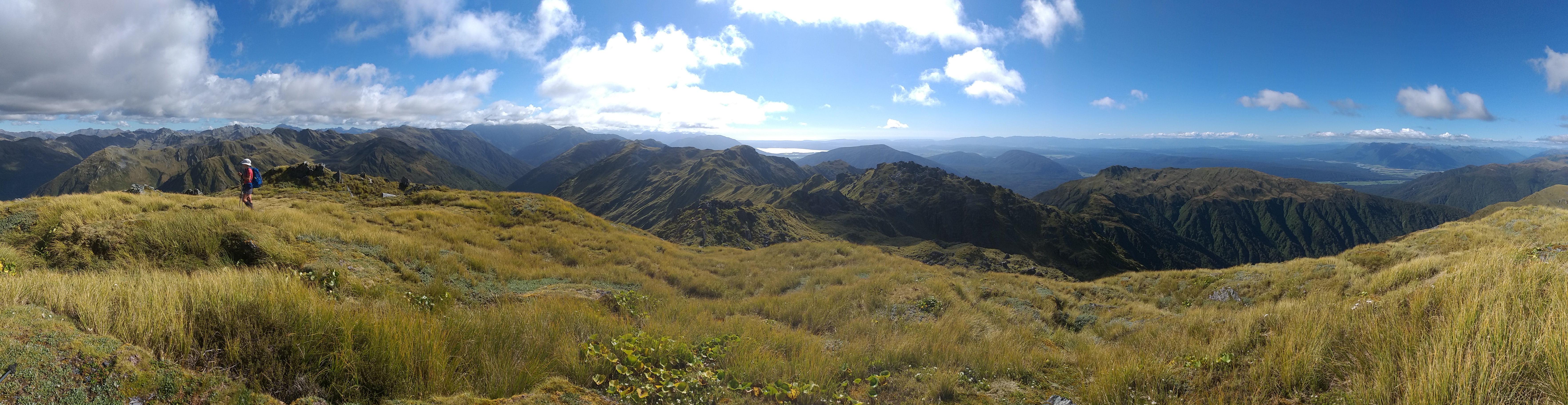
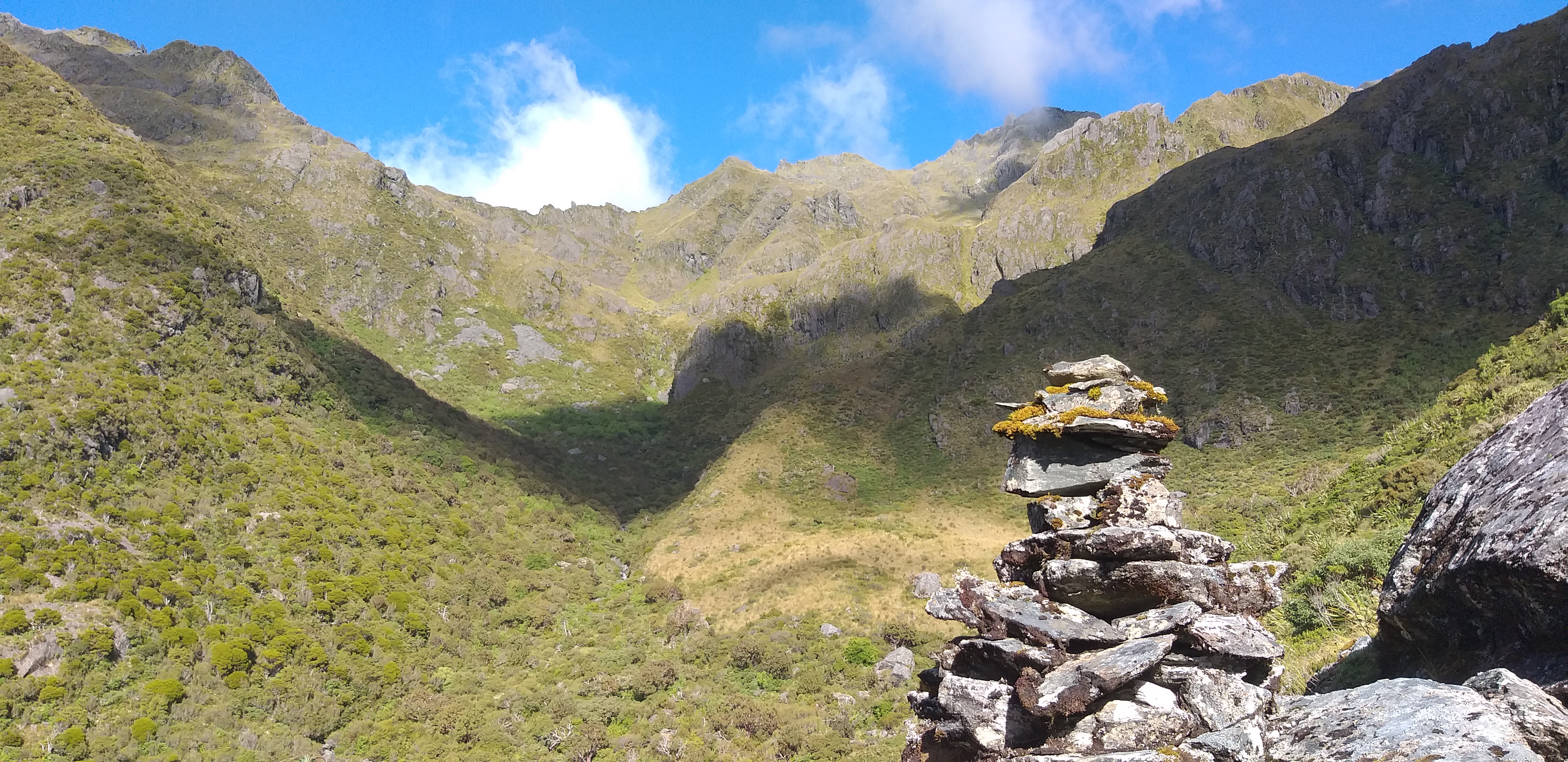
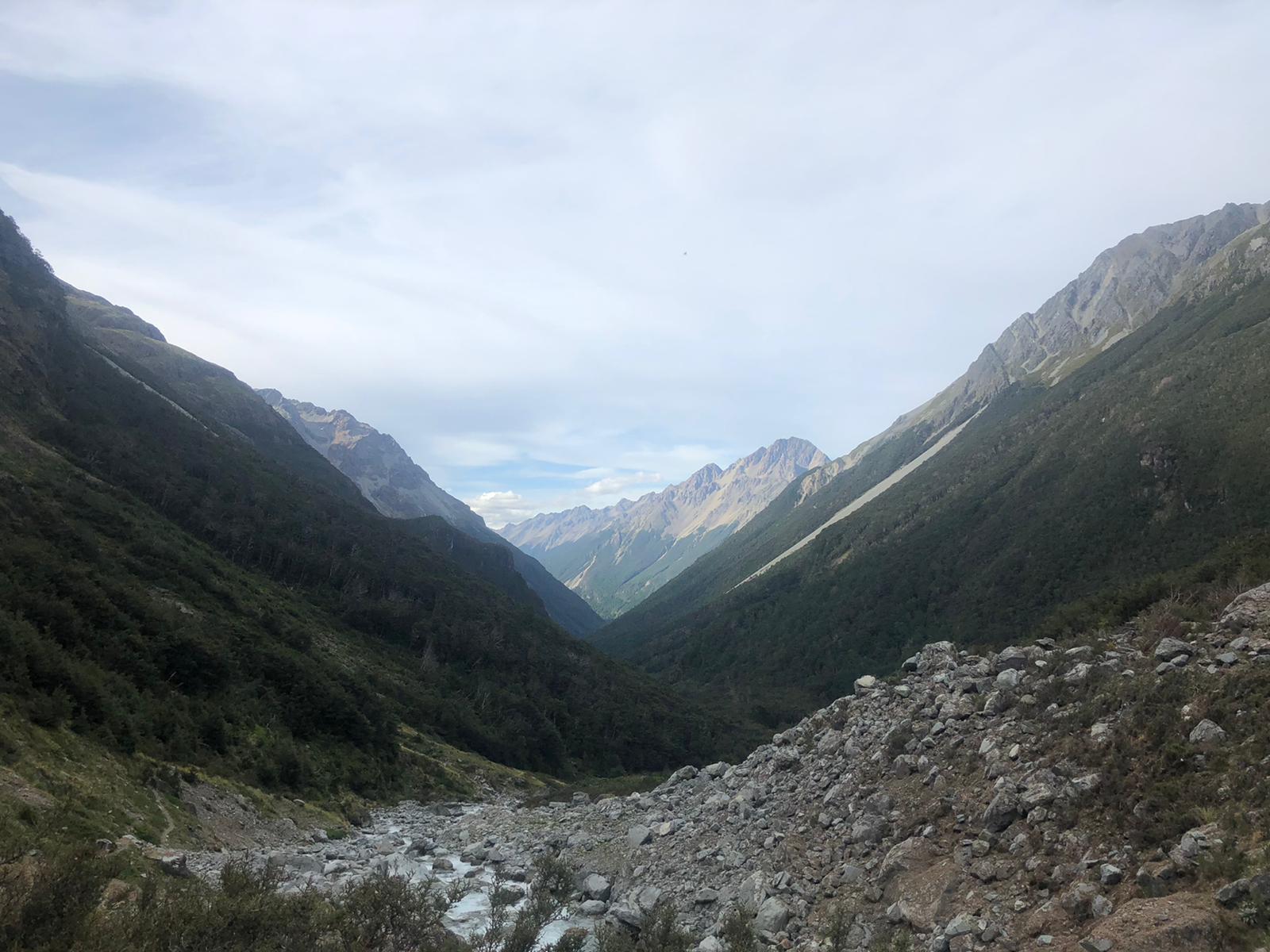
This climb had less snow than the previous day, as the slope was facing the sun.  The ridge was dry, and wide enough to feel safe from the scree fall to the west and the snowy slope to the east.  These ridges are jagged, the mountain rock being easy to fracture and break apart, not smooth like the hard granite of the Adirondacks.

I picked my way cautiously over the ridgeline, even putting on my spikes for the snow on the last 5 meters before the first summit. A band of cloud hung just over the mountains to the west; I was on the east side of the divide, in the sun, while anyone just over in Otira would be swathed in cloud. I laughed out loud. It was spectacular, it wasn’t even windy, and no one else was up here!

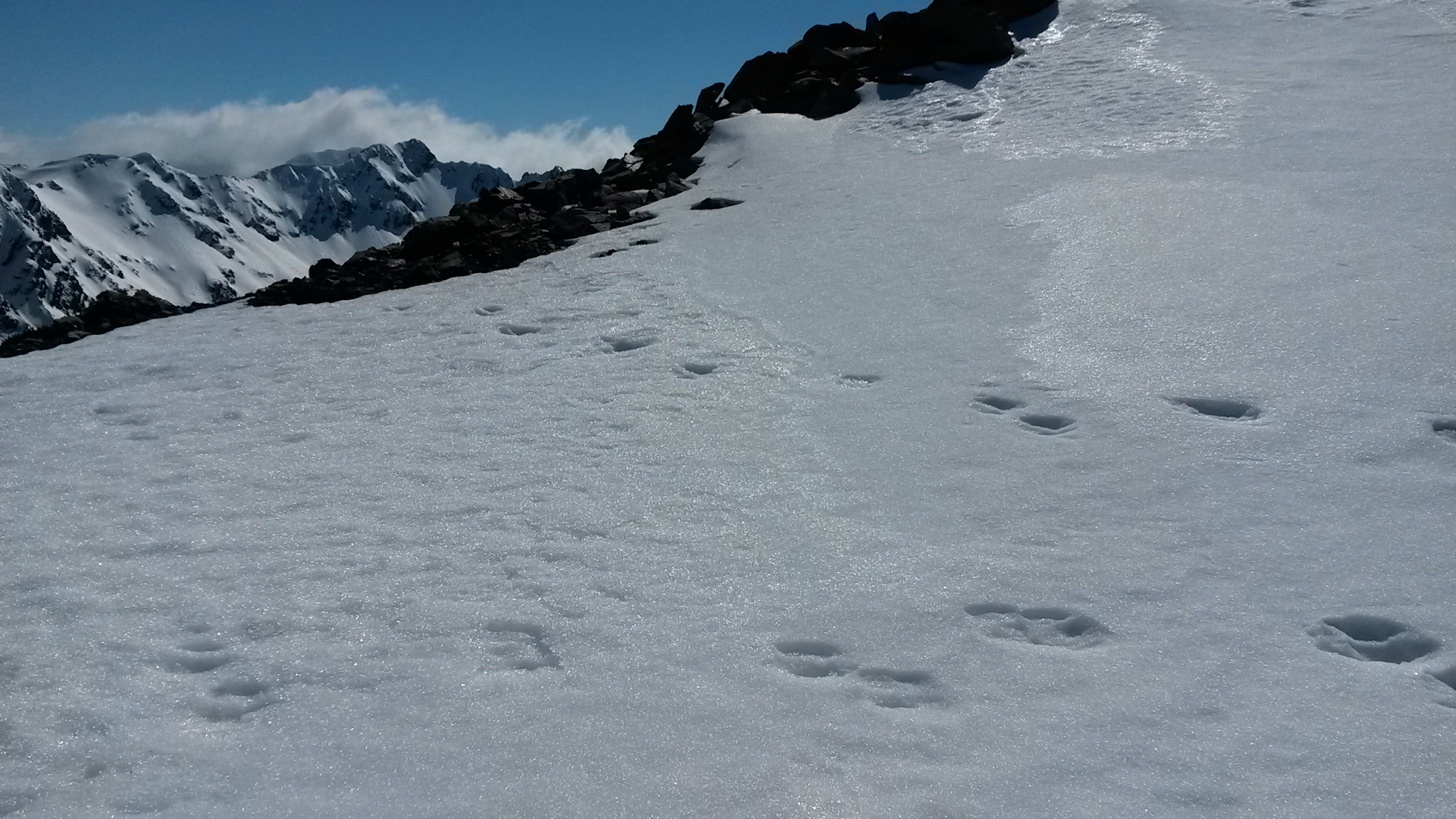
Except a pair of tahr. Or chamois…or deer. I’m really not knowledgeable enough to guess who’s footprints these were, or why they were sidling along the mountain tops.

I looked along the next bit of ridge to the true summit, eyeing up a narrow spot where the snow had blown through the ridge and the possible falls to either side.  Nope, first summit was enough for me.  Jeremiah would be proud of that conservative choice.  I turned around and started back down.

It was a magnificent weekend. Enough risk to make me feel strong and independent, while not enough danger to be stupid. And it was surprisingly nice to be front country—to have time to communicate with some friends and also to think.